Coastal walks at Hawks Nest, Forster and Diamond Head with plenty of other great walks in between.
Curious about our best walks with coastal views and more?
Here are our suggestions for the top coastal walks of the Barrington Coast.
Some are easy, some are a little more challenging, but you'll love them all.
If you still want more then check out our waterfall walks and hinterland walks.
Strap on those walking shoes and you'll be rewarded at every turn with something special.
Ok, let's go for a walk!
** Safety tip: Always check NPWS Alerts before departing for a National Park, Nature Reserve or State Conservation Area **
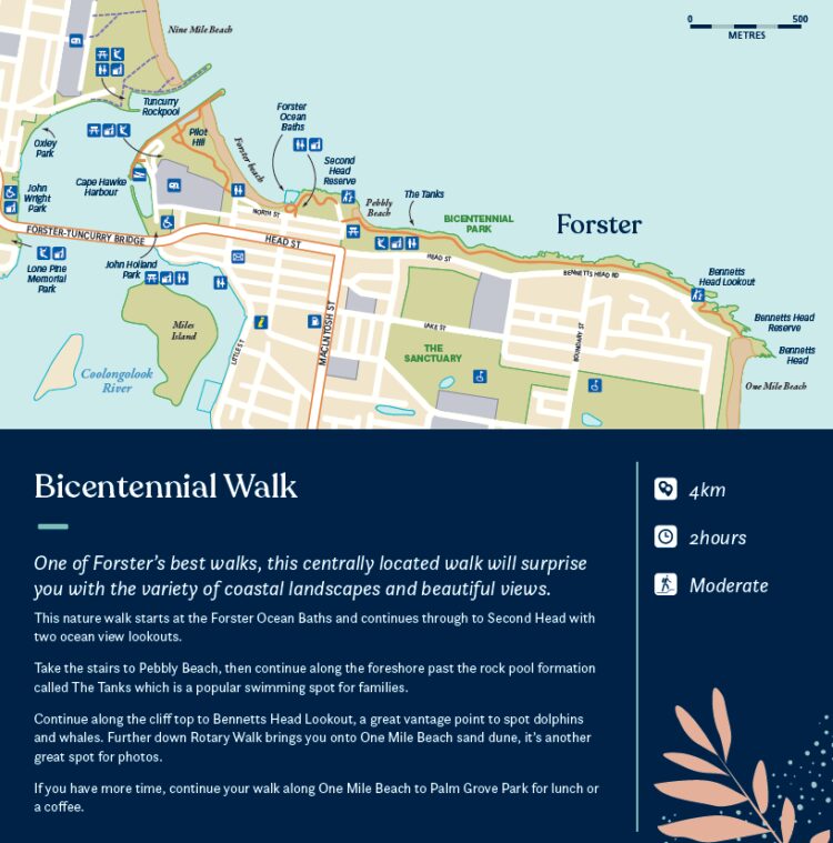
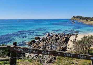
Bicentennial Walk, Forster
- 4km
- 2 hours
- Moderate
One of Forster’s best walks, this centrally located walk will surprise you with the variety of coastal landscapes and beautiful views.
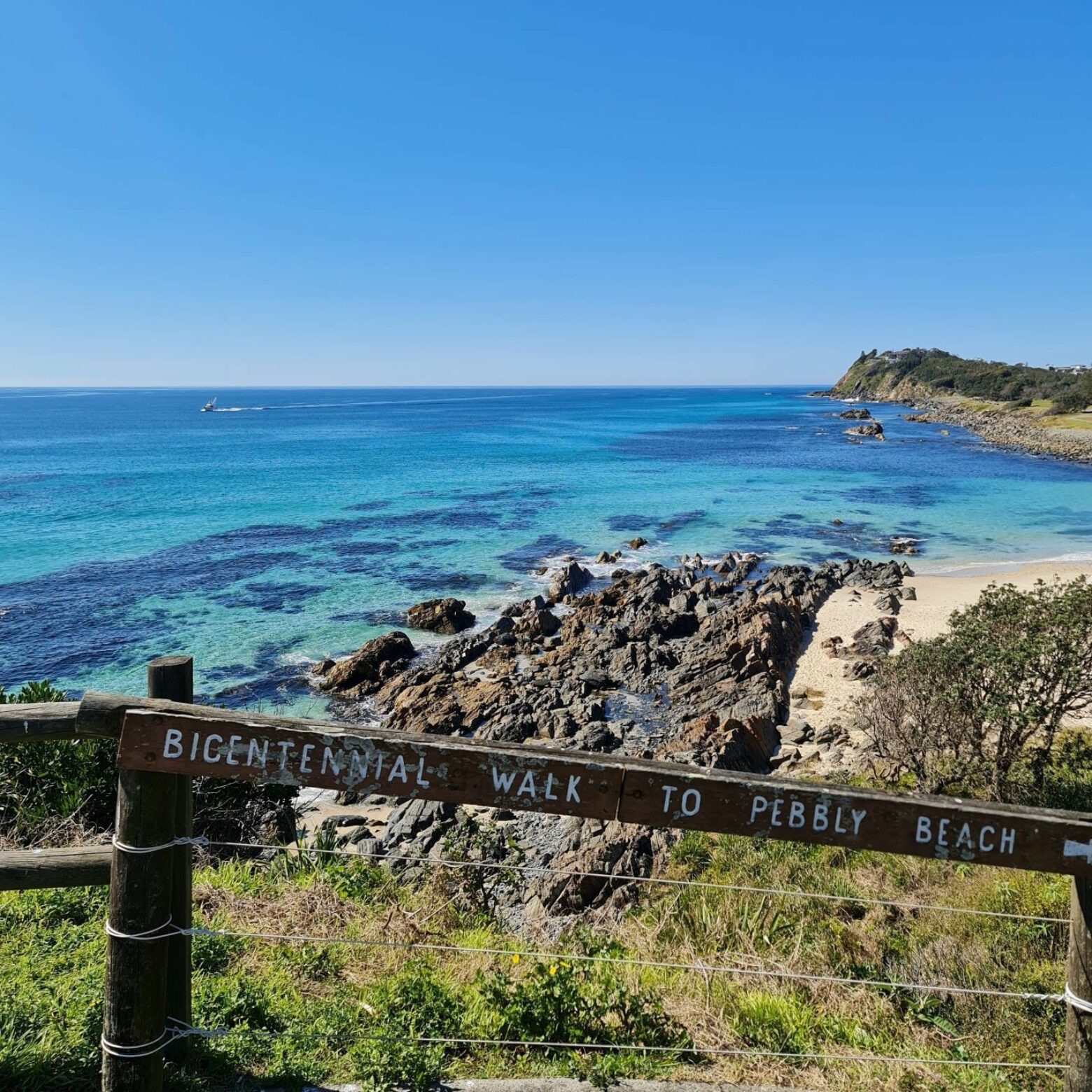
This nature walk starts at the Forster Ocean Baths and continues through to Second Head with two ocean view lookouts. Take the stairs to Pebbly Beach, then continue along the foreshore past the rock pool formation called The Tanks which is a popular swimming spot for families.
Continue along the cliff top to Bennetts Head Lookout, a great vantage point to spot dolphins and whales. Further down Rotary Walk brings you onto One Mile Beach sand dune, it’s another great spot for photos.
If you have more time, continue your walk along One Mile Beach to Palm Grove Park for lunch or a coffee.
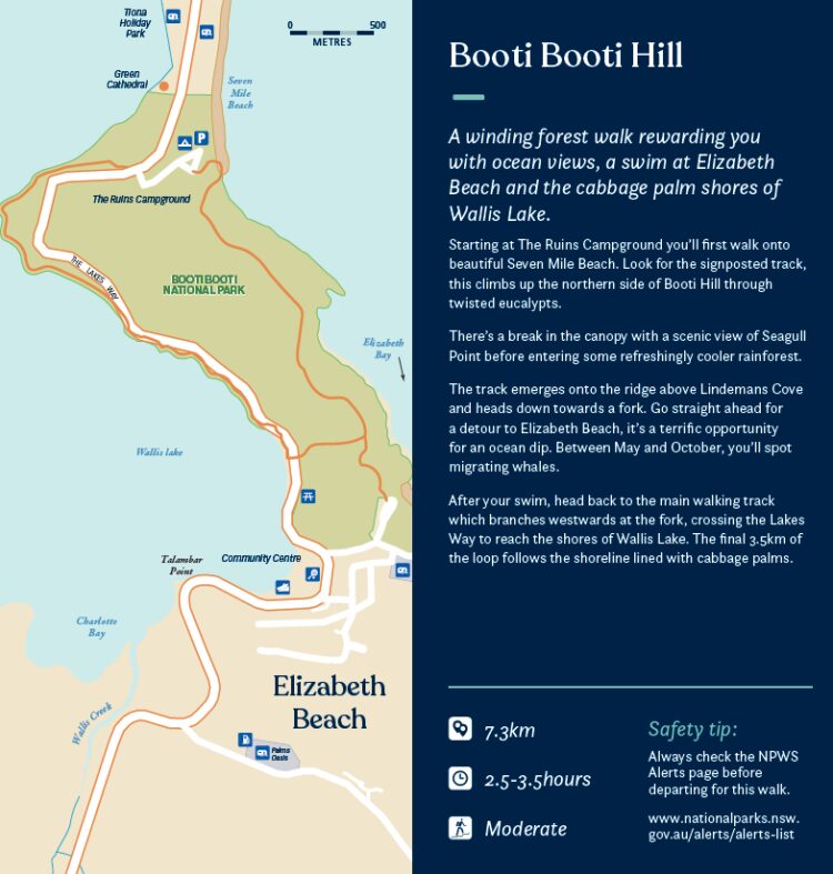
Booti Booti Hill
- 7.3km
- 2.5-3.5 hours
- Moderate
A winding forest walk rewarding you with ocean views, a swim at Elizabeth Beach and the cabbage palm shores of Wallis Lake.
Starting at The Ruins Campground you’ll first walk onto beautiful Seven Mile Beach. Look for the signposted track, this climbs up the northern side of Booti Hill through twisted eucalypts.
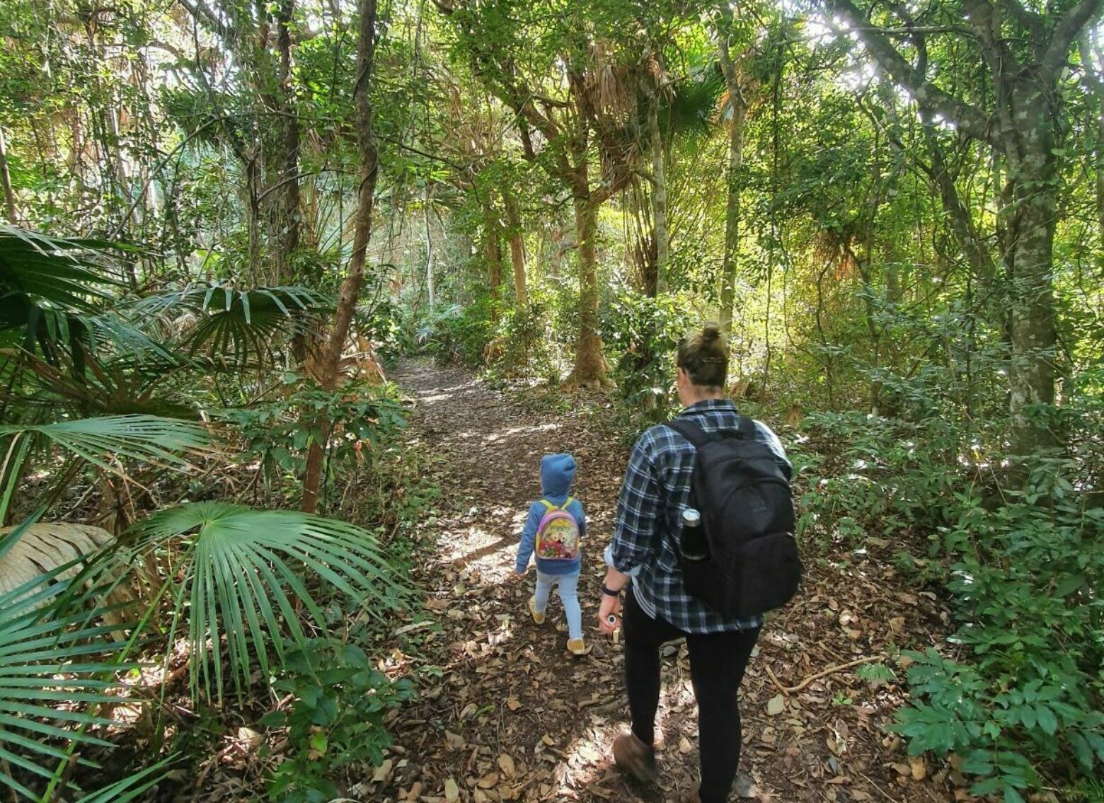
There’s a break in the canopy with a scenic view of Seagull Point before entering some refreshingly cooler rainforest.
The track emerges onto the ridge above Lindemans Cove and heads down towards a fork. Go straight ahead for a detour to Elizabeth Beach, it’s a terrific opportunity for an ocean dip. Between May and October, you’ll spot migrating whales.
After your swim, head back to the main walking track which branches westwards at the fork, crossing the Lakes Way to reach the shores of Wallis Lake. The final 3.5km of the loop follows the shoreline lined with cabbage palms.
Crowdy Bay National Park
- Various walks
- All easy
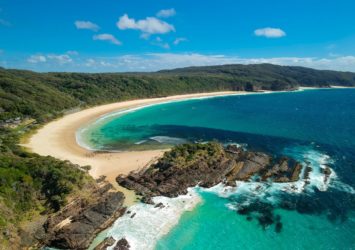
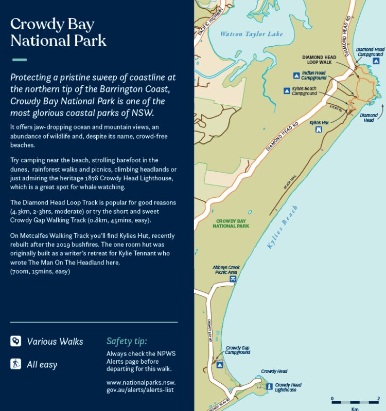
Protecting a pristine sweep of coastline at the northern tip of the Barrington Coast, Crowdy Bay National Park is one of the most glorious coastal parks of NSW.
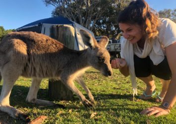
It offers jaw-dropping ocean and mountain views, an abundance of wildlife and, despite its name, crowd-free beaches.
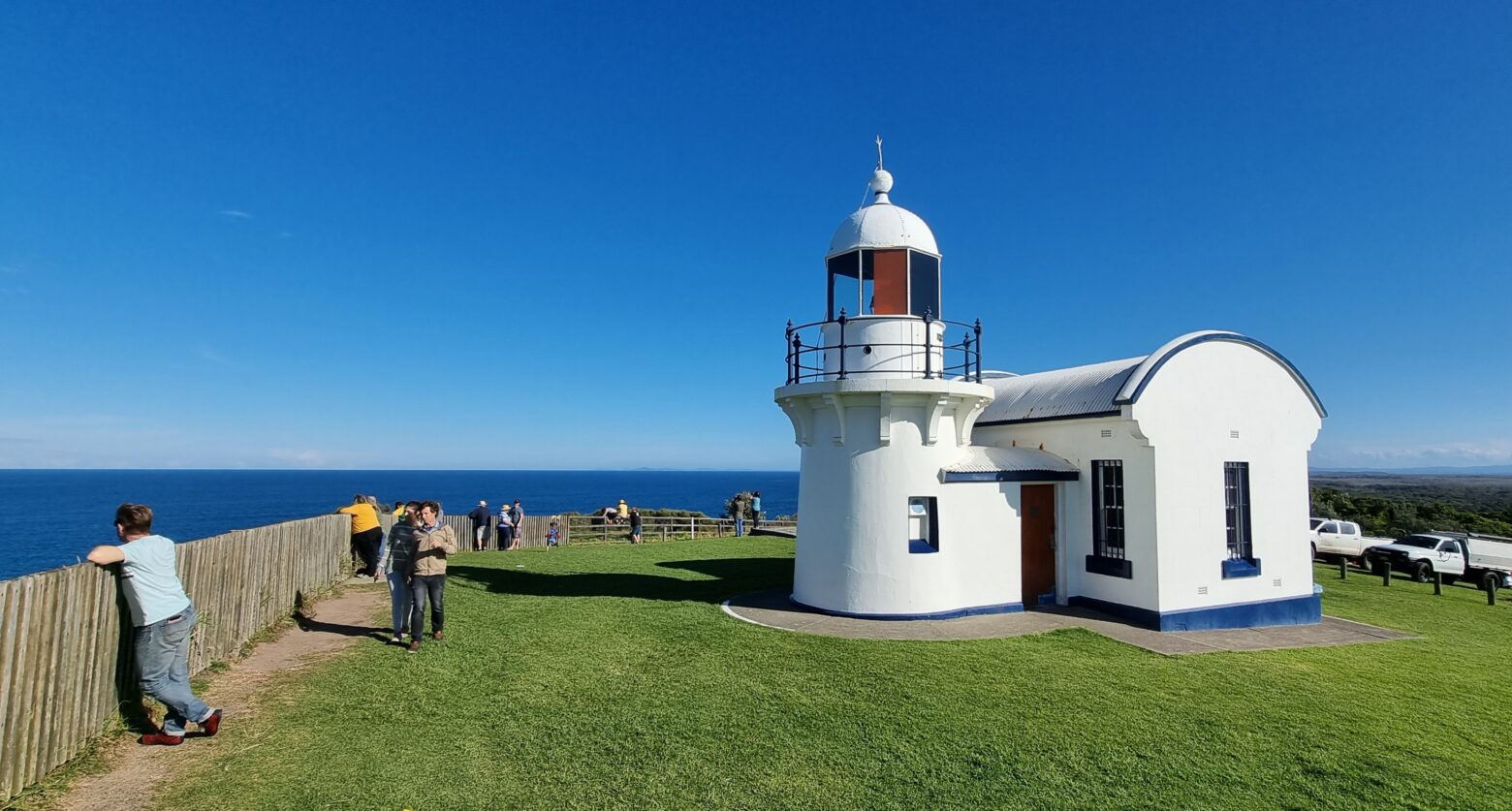
Try camping near the beach, strolling barefoot in the dunes, rainforest walks and picnics, climbing headlands or just admiring the heritage 1878 Crowdy Head Lighthouse, which is a great spot for whale watching.
The Diamond Head Loop Track is popular for good reasons (4.3km, 2-3hrs, moderate) or try the short and sweet Crowdy Gap Walking Track (0.8km, 45mins, easy).
On Metcalfes Walking Track you’ll find Kylies Hut, recently rebuilt after the 2019 bushfires. The one room hut was originally built as a writer’s retreat for Kylie Tennant who wrote The Man On The Headland here. (700m, 15mins, easy)
Diamond Head
- 4.3km
- 1.5-2.5 hours
- Moderate
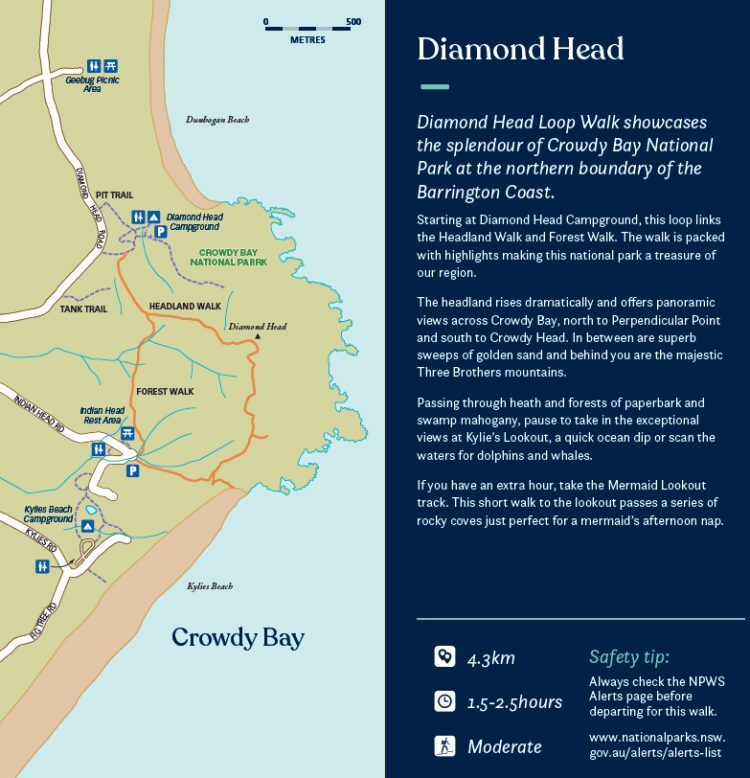
Diamond Head Loop Walk showcases the splendour of Crowdy Bay National Park at the northern boundary of the Barrington Coast.
Starting at Diamond Head Campground, this loop links the Headland Walk and Forest Walk. The walk is packed with highlights making this national park a treasure of our region.
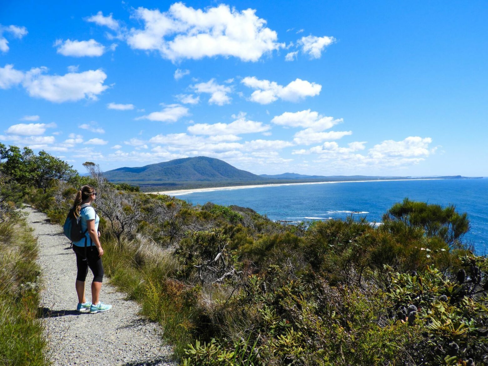
The headland rises dramatically and offers panoramic views across Crowdy Bay, north to Perpendicular Point and south to Crowdy Head. In between are superb sweeps of golden sand and behind you are the majestic Three Brothers mountains.
Passing through heath and forests of paperbark and swamp mahogany, pause to take in the exceptional views at Kylie’s Lookout, a quick ocean dip or scan the waters for dolphins and whales.
If you have an extra hour, take the Mermaid Lookout track. This short walk to the lookout passes a series of rocky coves just perfect for a mermaid’s afternoon nap.
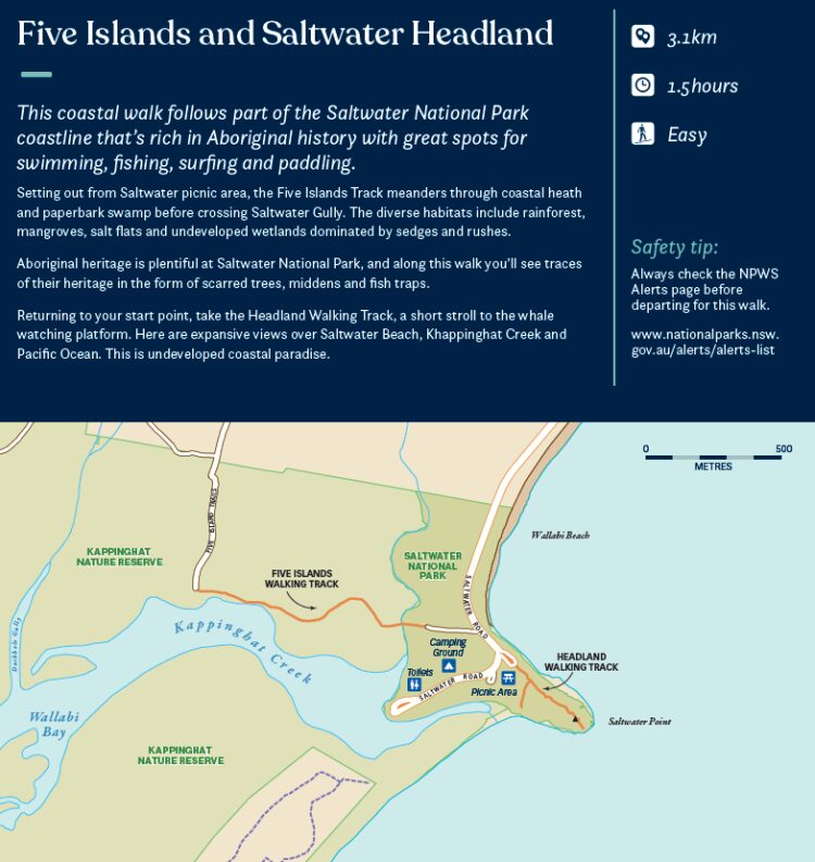
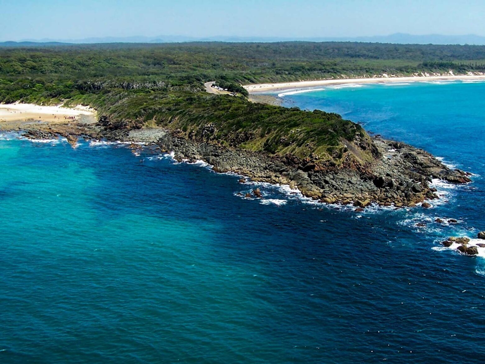
Saltwater Headland and Five Islands
- 3.1km
- 1.5 hours
- Easy
This coastal walk follows part of the Saltwater National Park coastline that’s rich in Aboriginal history with great spots for swimming, fishing, surfing, and paddling.
Setting out from Saltwater picnic area, the Five Islands Track meanders through coastal heath and paperbark swamp before crossing Saltwater Gully. The diverse habitats include rainforest, mangroves, salt flats and undeveloped wetlands dominated by sedges and rushes.
Aboriginal heritage is plentiful at Saltwater National Park, and along this walk you'll see traces of their heritage in the form of scarred trees, middens and fish traps.
Returning to your start point, take the Headland Walking Track, a short stroll to the whale watching platform. Here are expansive views over Saltwater Beach, Khappinghat Creek and Pacific Ocean. This is undeveloped coastal paradise.
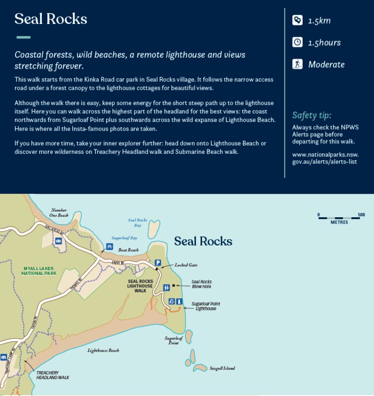
Seal Rocks
- 1.5km
- 1.5 hours
- Moderate
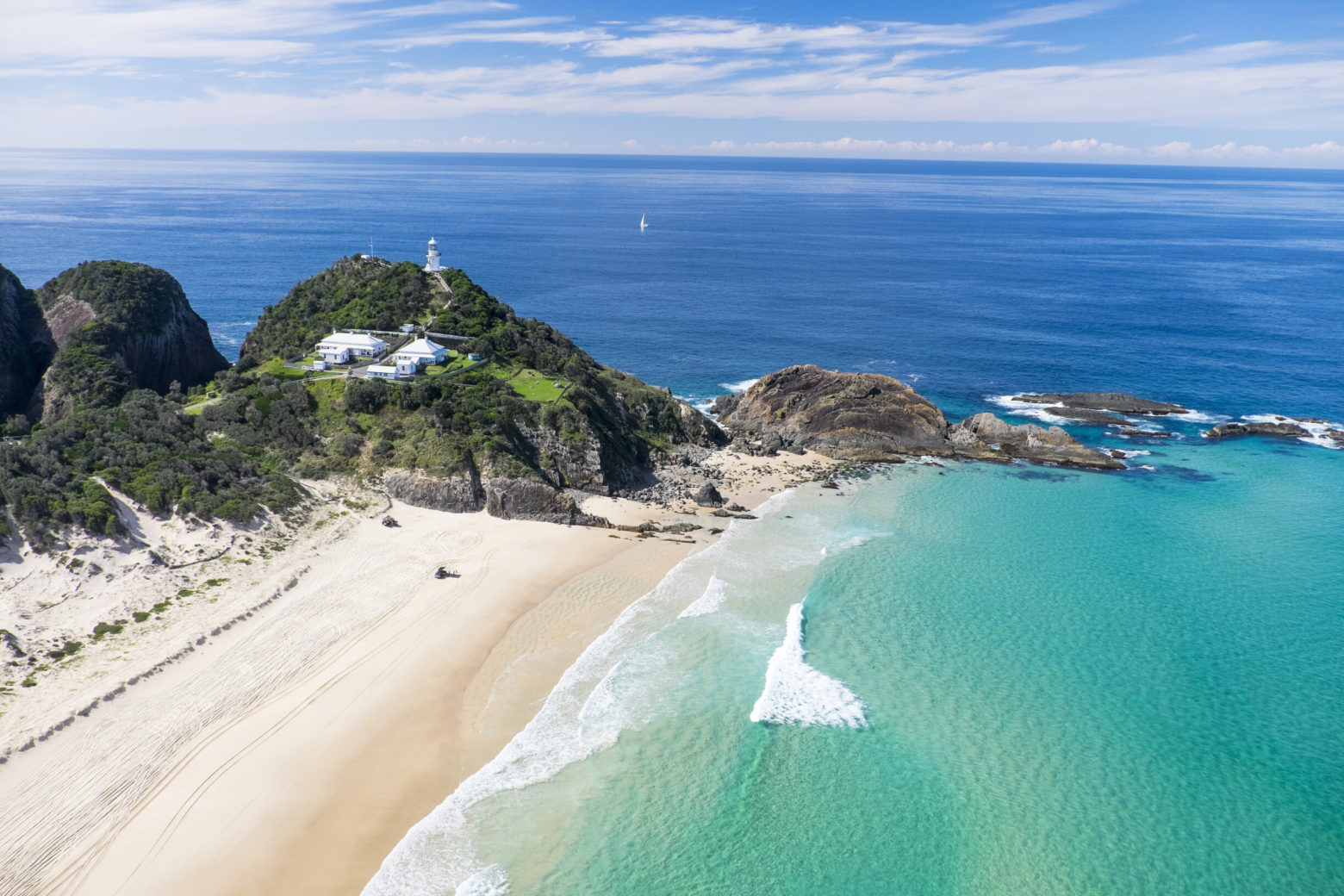
Coastal forests, wild beaches, a remote lighthouse and views stretching forever.
This walk starts from the Kinka Road car park in Seal Rocks village. It follows the narrow access road under a forest canopy to the lighthouse cottages for beautiful views.
Although the walk there is easy, keep some energy for the short steep path up to the lighthouse itself. Here you can walk across the highest part of the headland for the best views: the coast northwards from Sugarloaf Point plus southwards across the wild expanse of Lighthouse Beach. Here is where all the Insta-famous photos are taken!
If you have more time, take your inner explorer further: head down onto Lighthouse Beach or discover more wilderness on Treachery Headland walk and Submarine Beach walk.
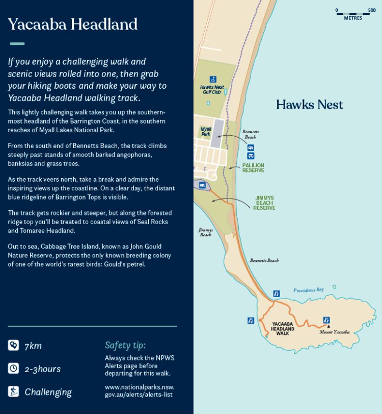
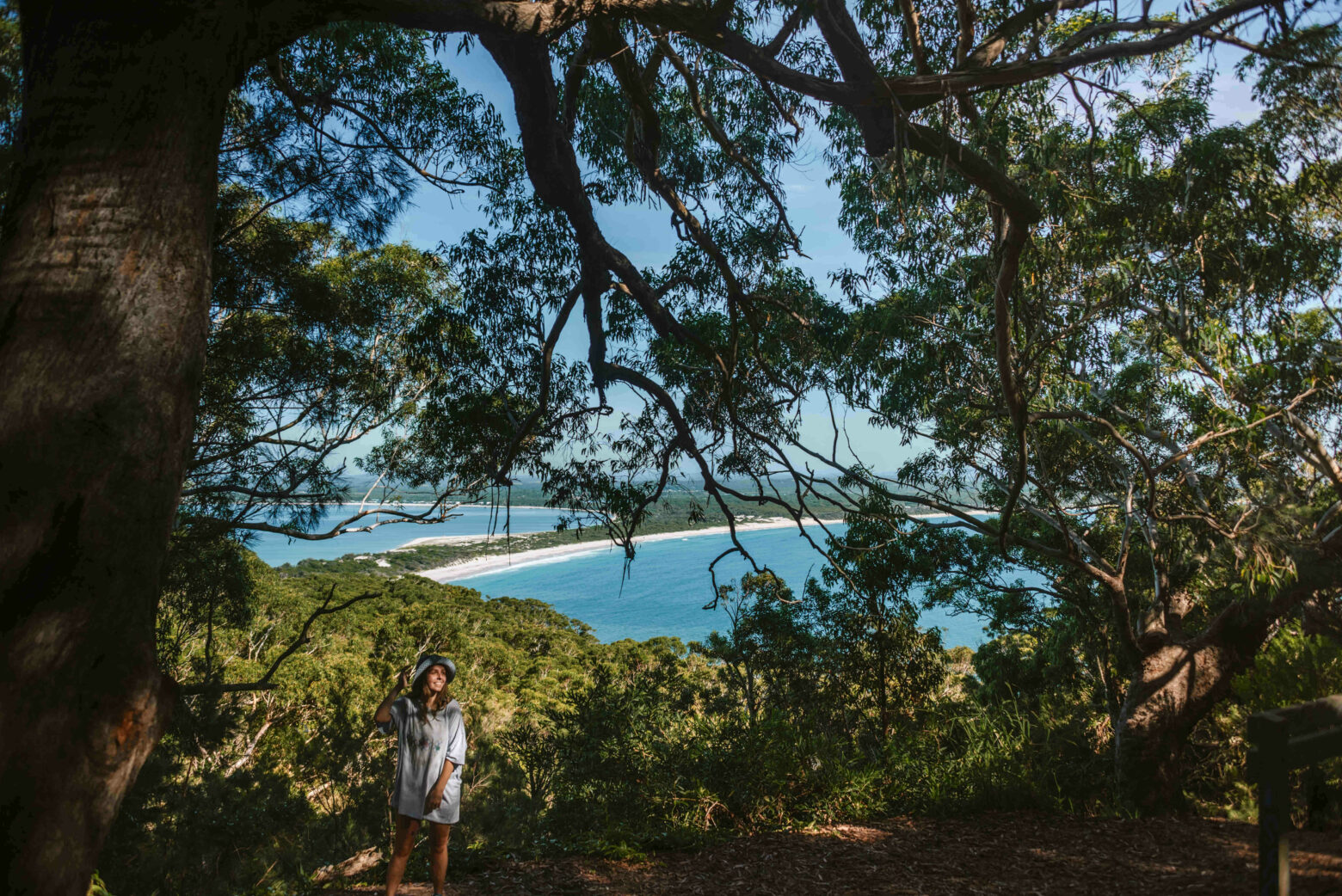
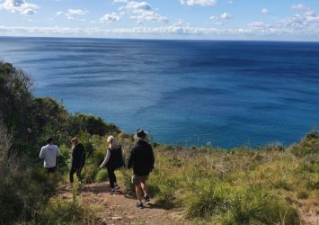
Yacaaba Headland
- 7km
- 2-3 hours
- Challenging
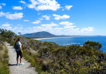
If you enjoy a challenging walk and scenic views rolled into one, then grab your hiking boots and make your way to Yacaaba Headland walking track.
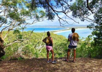
This lightly challenging walk takes you up the southern-most headland of the Barrington Coast, in the southern reaches of Myall Lakes National Park. From the south end of Bennetts Beach, the track climbs steeply past stands of smooth barked angophoras, banksias and grass trees.
As the track veers north, take a break and admire the inspiring views up the coastline. On a clear day, the distant blue ridgeline of Barrington Tops is visible. The track gets rockier and steeper, but along the forested ridge top you’ll be treated to coastal views of Seal Rocks and Tomaree Headland.
Out to sea, Cabbage Tree Island, known as John Gould Nature Reserve, protects the only known breeding colony of one of the world’s rarest birds: Gould’s petrel.