At the highest point of the Barrington Coast is the renowned wilderness of Barrington Tops, brimming with Gondwana experiences for you to uncover.
These high forests thriving with plants and wildlife are an outstanding example of the major stages of Earth’s evolution.
Directions to Barrington Tops
How to get to Barrington Tops by car, train, coach or plane.
Truly something special
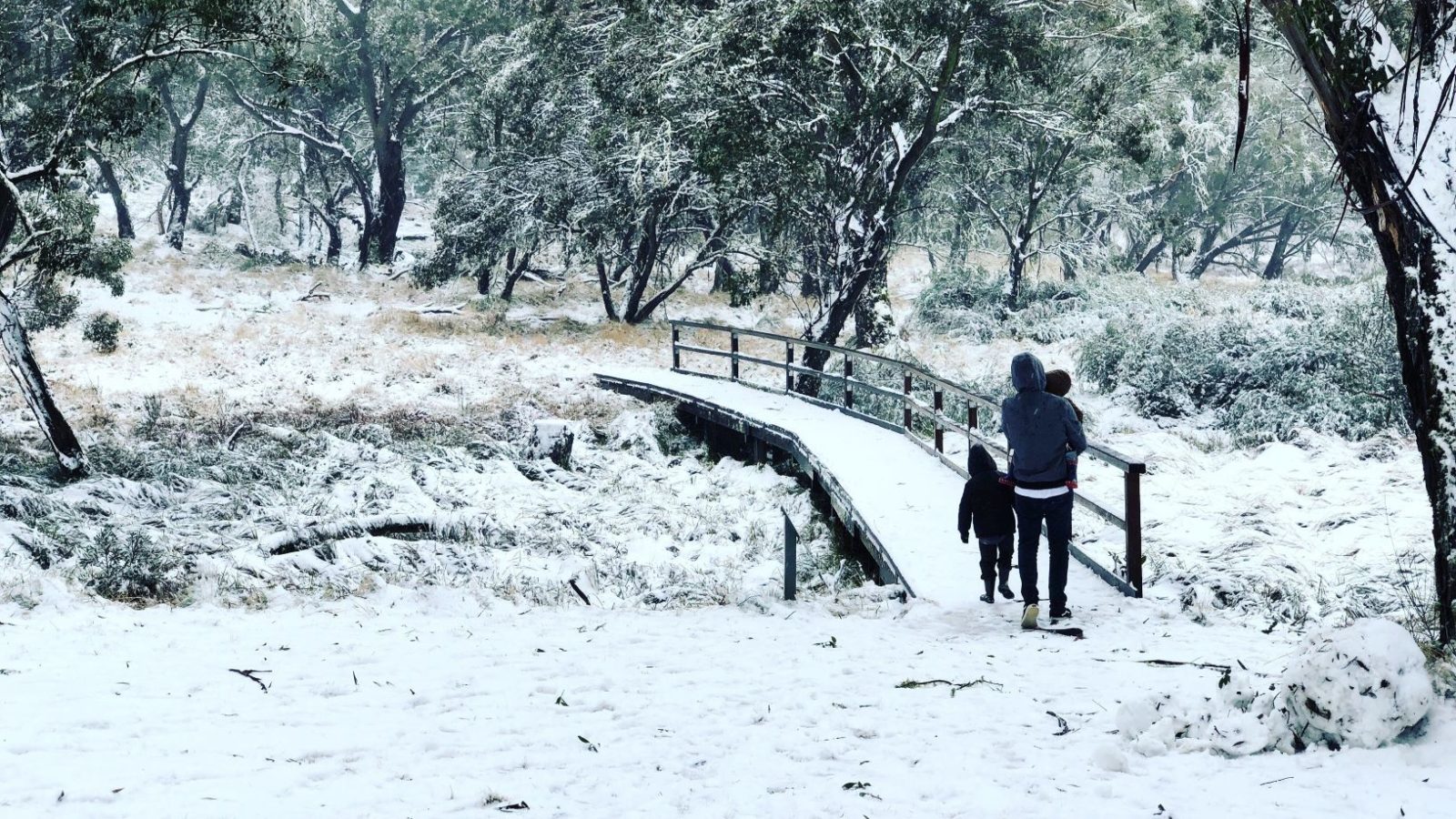
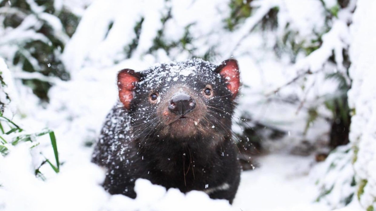
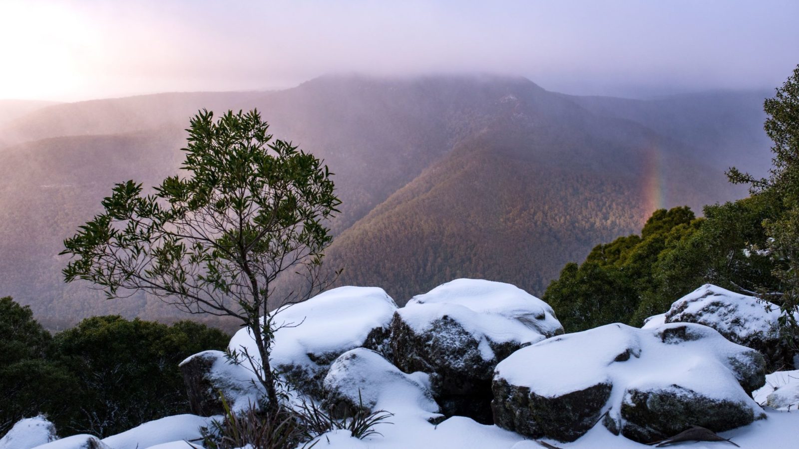
Barrington Tops is the highest region on the Australian mainland outside the Snowy Mountains. (Mount Ossa in Tasmania at 1,617m just beats Brumlow Top 1586m). This plateau is an ancient shield volcano and enjoys a regular dusting of snow each winter. In 2019 the national park celebrated its 50th anniversary plus its 25th anniversary of world heritage listing. It’s truly something special, so come see for yourself.
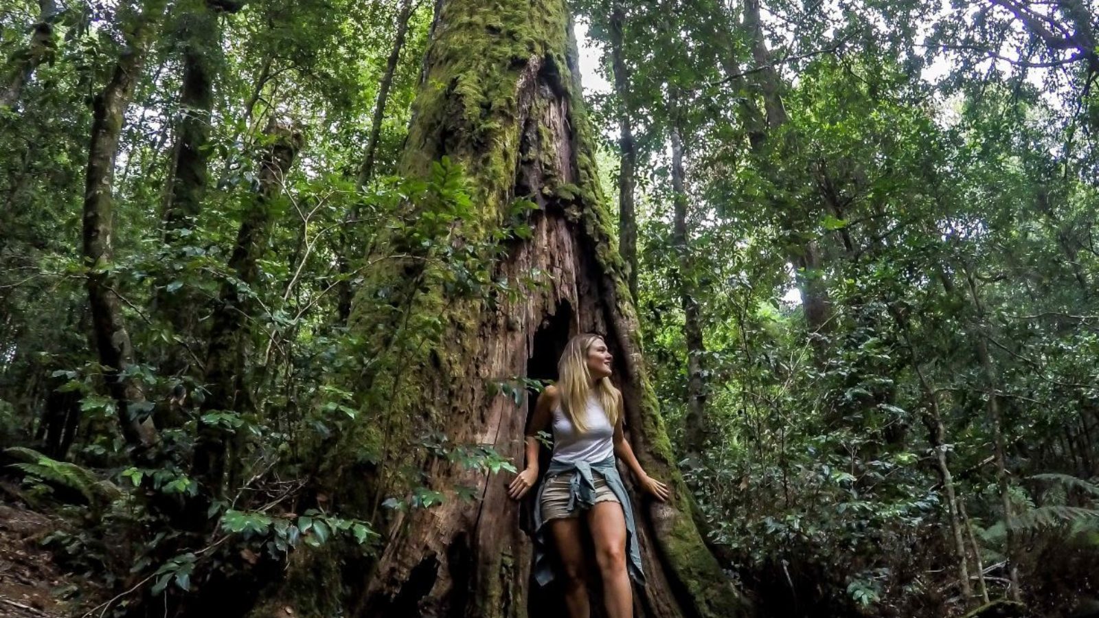
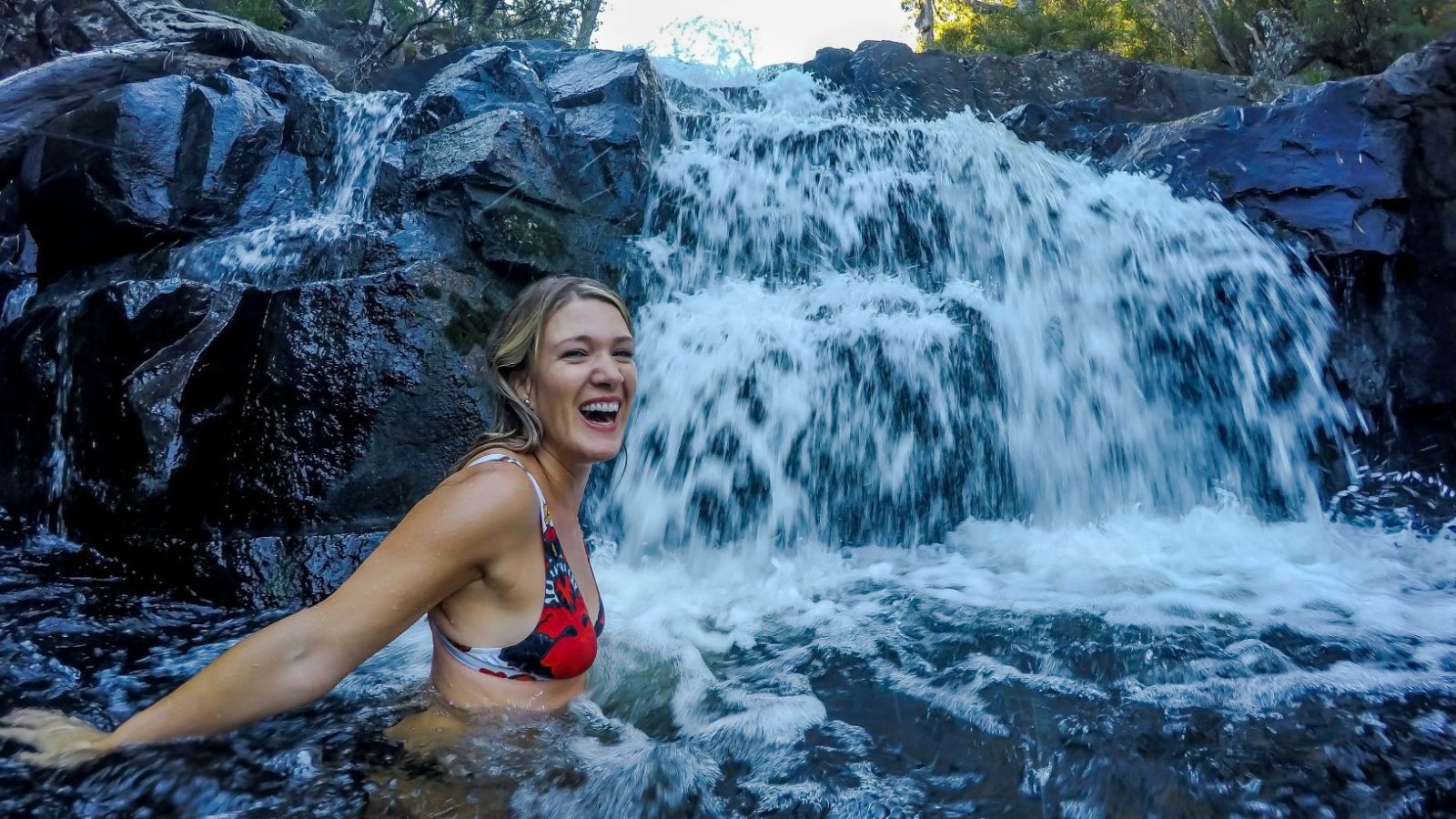
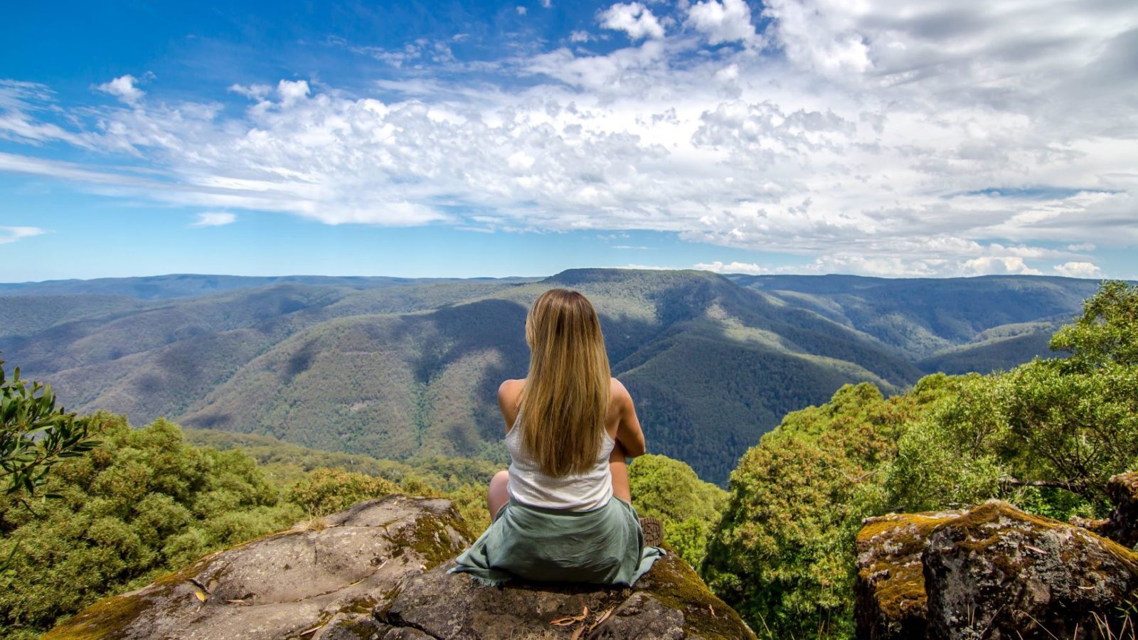
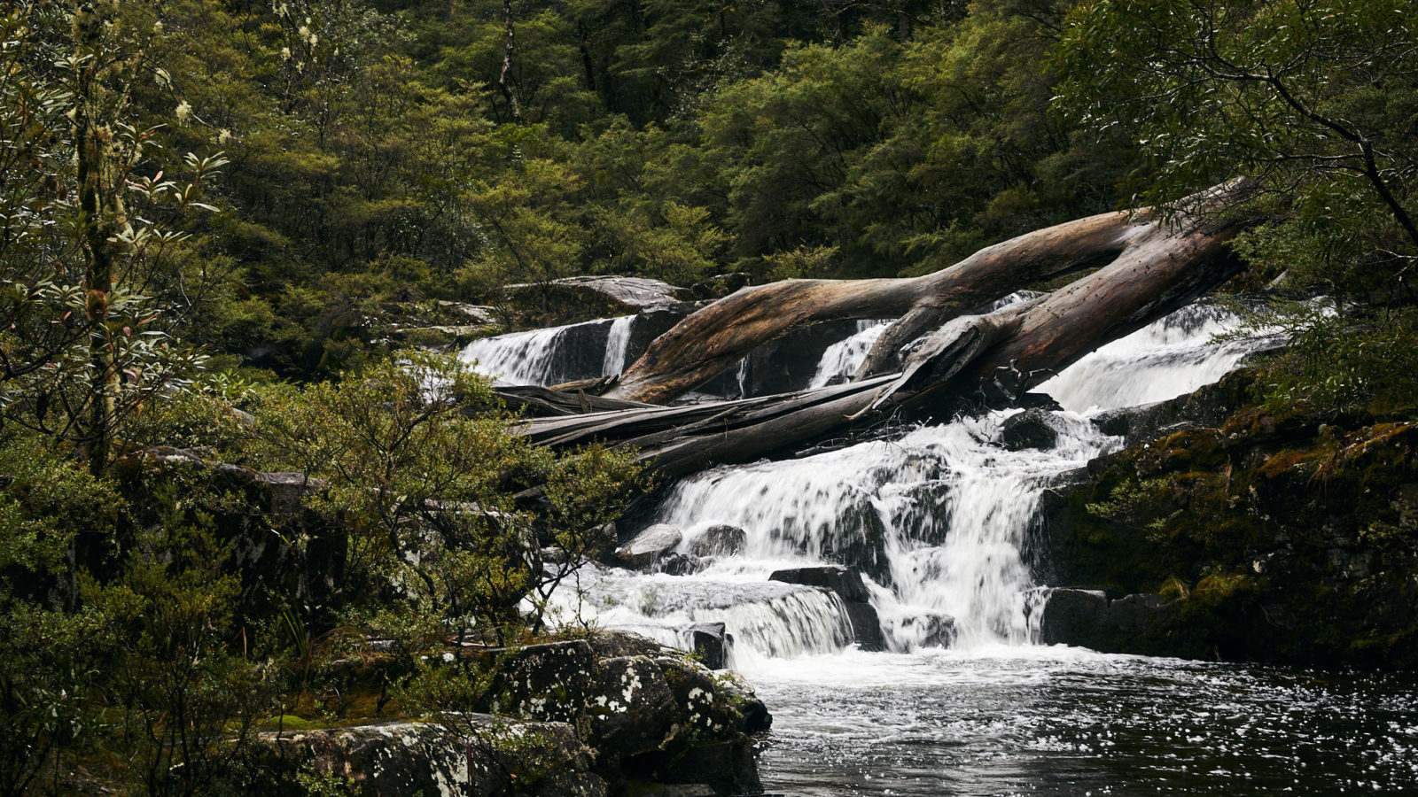
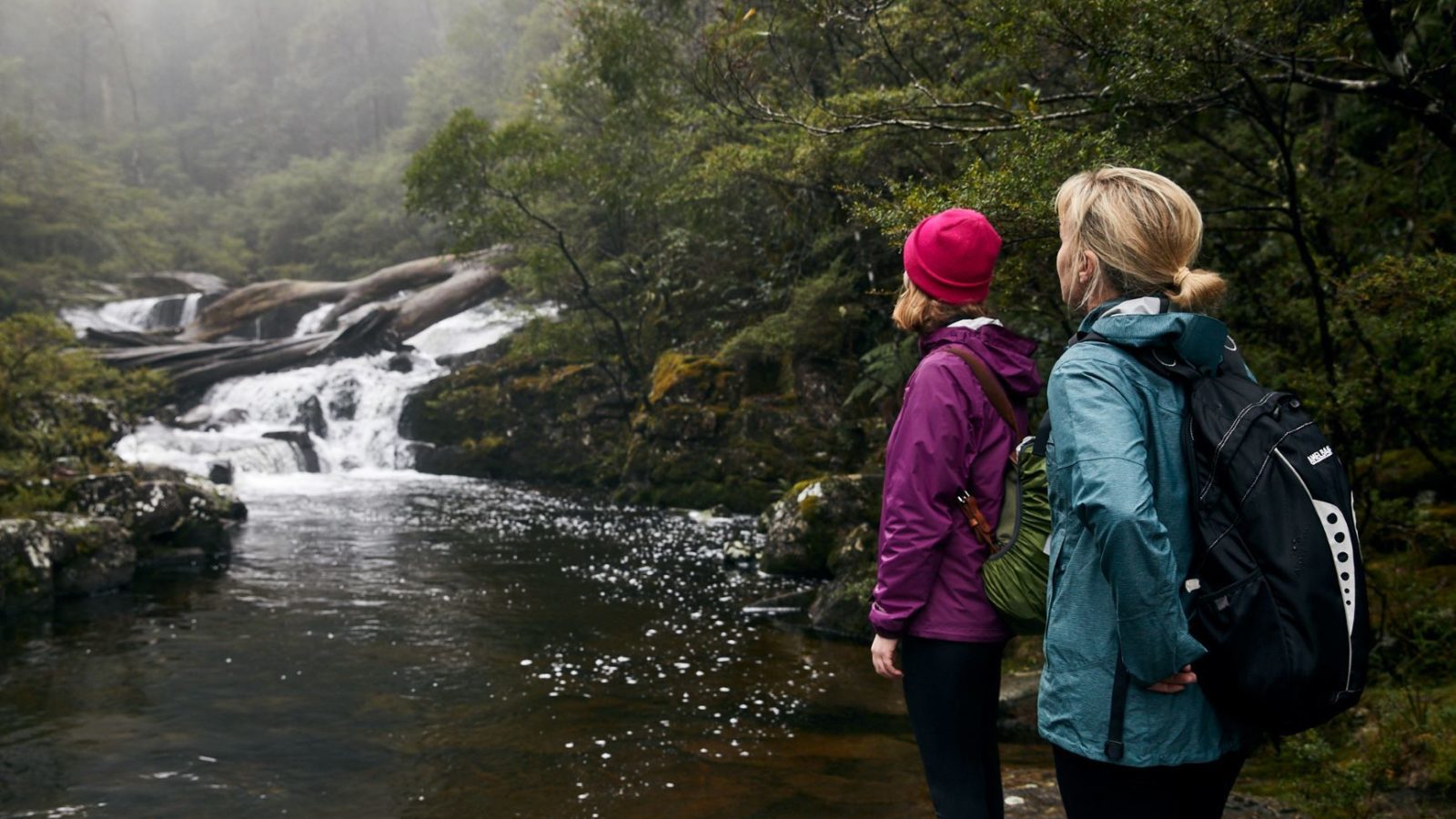
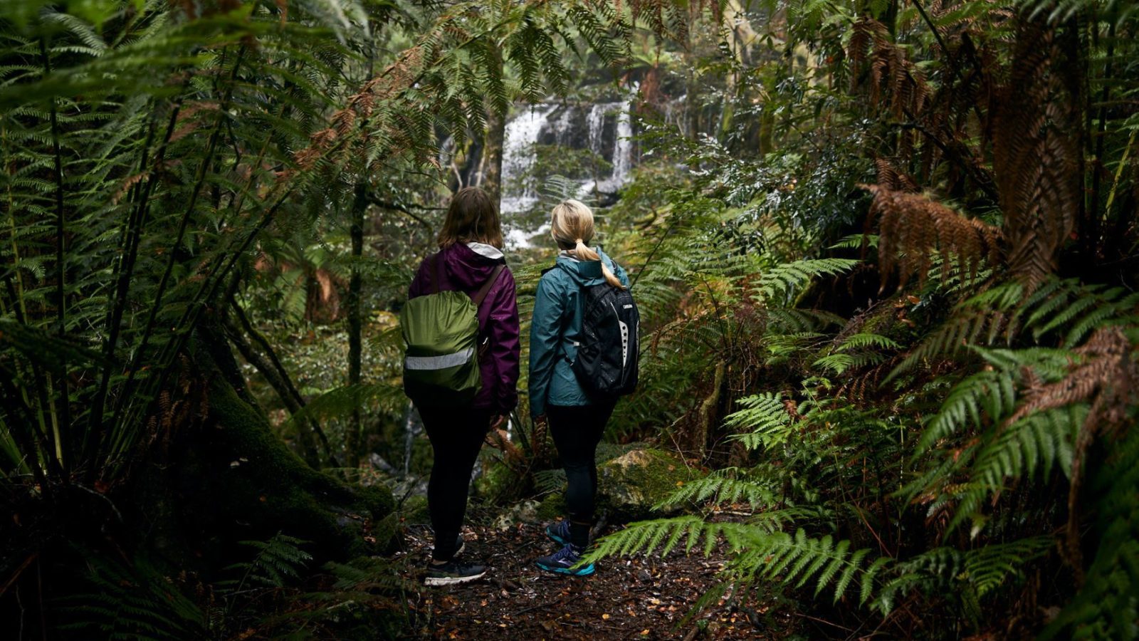
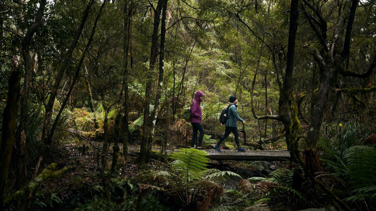
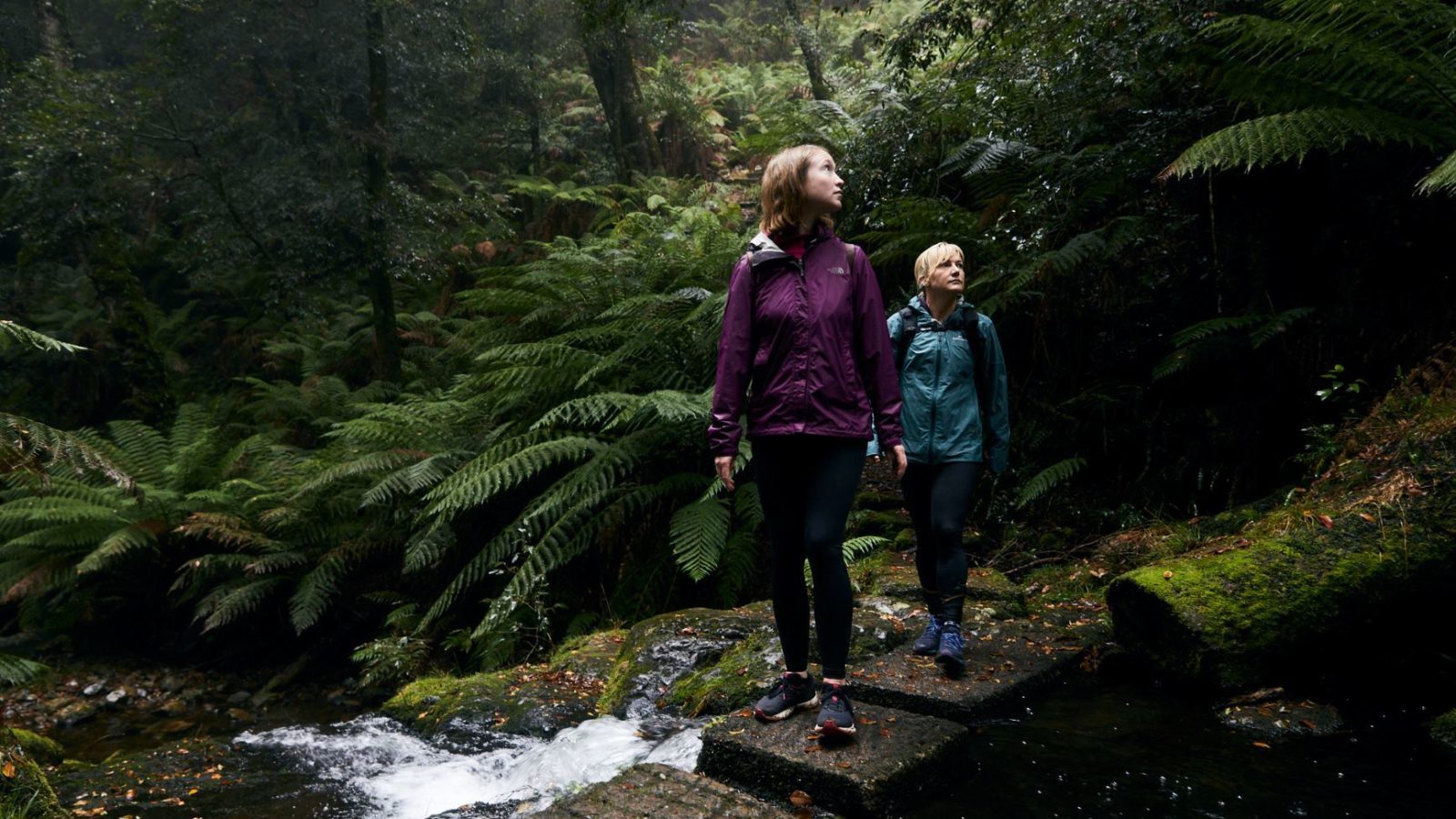
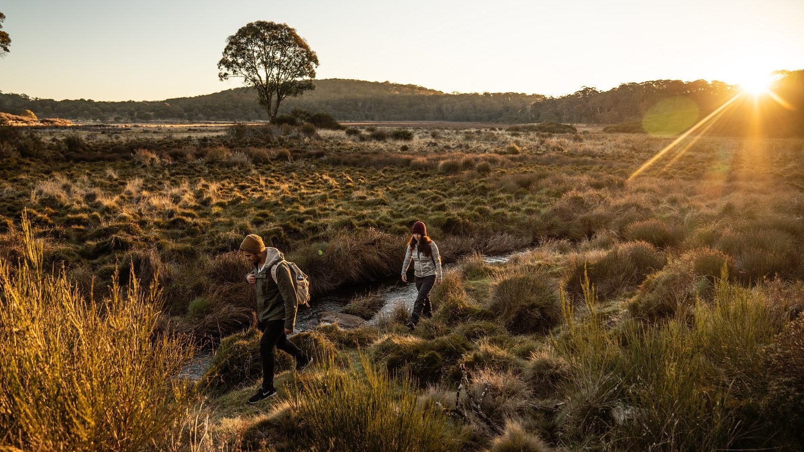
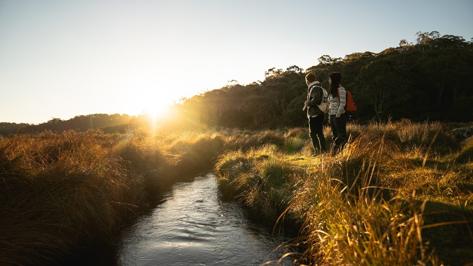
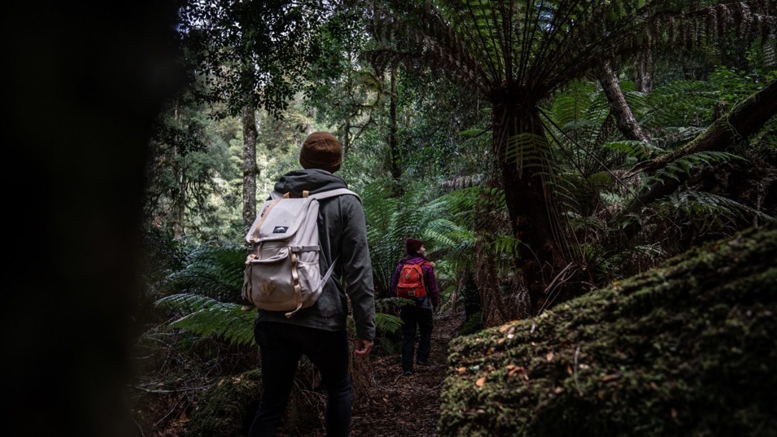
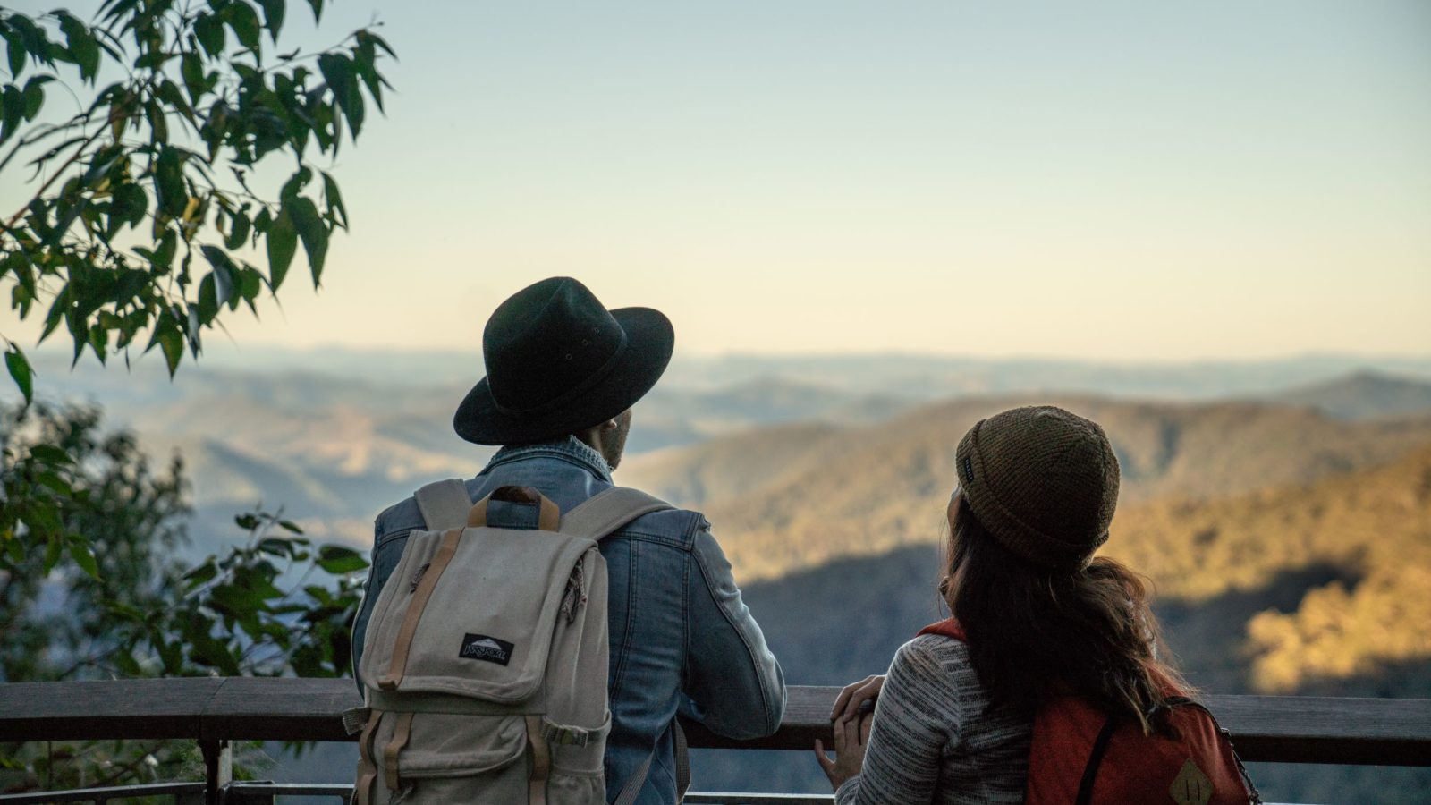
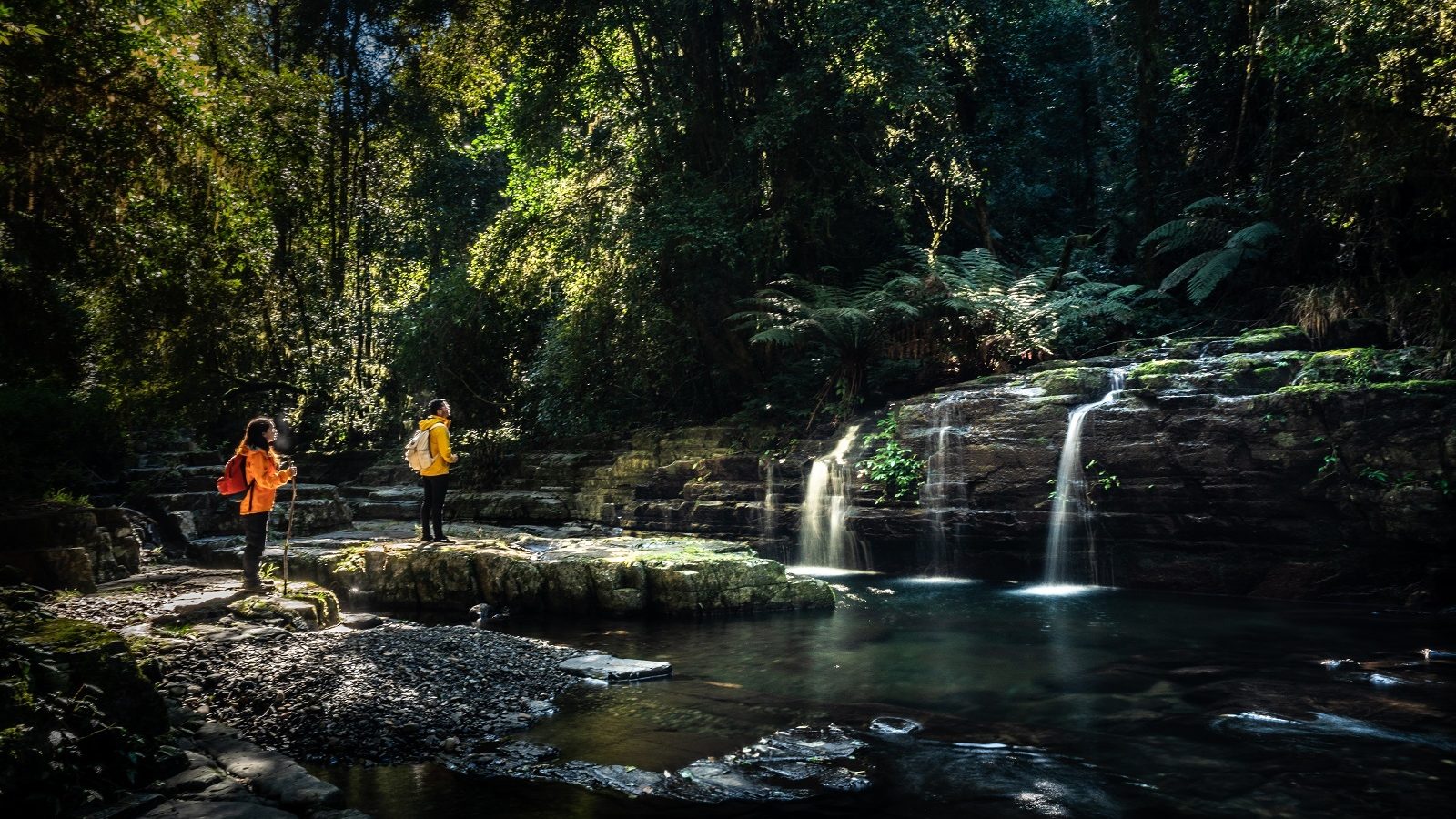
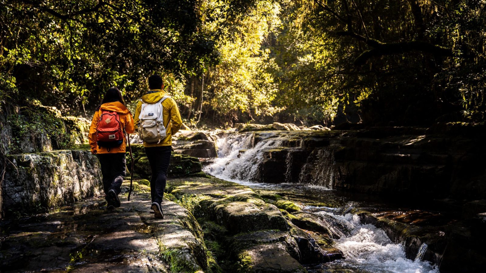
You’ll be enthralled by high altitude ancient rainforests, towering tree fern groves and snow gums. Short walks will take you to waterfalls and cascades hidden in mossy glens plus lookouts with exhilarating mountain views across endless green. Gloucester has long enjoyed the epithet of basecamp for Barrington Tops so it’s the perfect place to set out on your Gondwana adventures.

How big is Barrington Tops?
Well it’s too big to visit all in one day or even two. The Barrington Tops parklands is a collection of national parks, state conservation areas and state forests. Together they total 125,000 hectares of wilderness, see more details below.
That’s 1,250 square kilometres to lose yourself in, so take care when venturing into this beautiful region… it has swallowed planes and people without a trace. And it’s also hidden bushrangers and fugitives for years.
The parkland precincts of Barrington Tops
To make it easier, the parklands can be divided into precincts, each with their own appeal and often with their own unique access. You’ll need several visits to truly appreciate why this region was world heritage listed back in 1996.
- Barrington Tops National Park (76,500 hectares)
- northern precinct including Polblue is accessed via Gloucester and Scone
- eastern precinct of Gloucester Tops including Gloucester Falls is accessed via Gloucester only
- Barrington Tops State Conservation Area (8,400 hectares)
- northern precinct is accessed via Gloucester and Scone
- Barrington Tops State Forest (14,000 hectares)
- northern precinct is accessed via Gloucester and Scone
- Chichester State Forest West (Allyn River) and Chichester State ForestEast (Telegherry River) (total 15,000 hectares)
- southern precinct including Ladies Well and Rocky Crossing Trail is accessed via Stroud and Dungog
- Stewarts Brook State Forest (3,800 hectares)
- western precinct including The Firs is accessed via Gloucester and Scone
- Mount Royal National Park (6,900 hectares)
- south western precinct including Pieries Peak is accessed via Singleton only


Why is Barrington Tops so special?
The Gondwana Rainforests of Australia include the most extensive areas of subtropical rainforest in the world, extending from south-east of Queensland to Barrington Tops northwest of Newcastle. In 1996 these Australian rainforests were admitted to UNESCO’s World Heritage list. This means these forests thriving with plants and wildlife are an outstanding example of the major stages of Earth’s evolution.
Ancient volcanoes formed the mountains we know today at Barrington Tops, Wollumbin (Mt Warning) and Ebor Falls. These Gondwana Rainforests are home to plants dating back 300-400 million years. More than 270 threatened plant and animal species can be found in the Gondwana Rainforests. Many plants and animals located in these rainforests are entirely unique to the area.
• How old is Barrington Tops?
• How high are the mountains of Barrington Tops?
• Who is Barrington Tops named after?
125,000 hectares to lose yourself in, so take care… it has swallowed planes and people without a trace and hidden bushrangers and fugitives for years.