Do you know the differences between a road and a trail in the parklands of Barrington Tops? Here’s some helpful information about accessing the best of Barrington Tops with 2WD and 4WD vehicles.
Do not attempt to drive 2WD vehicles on 4WD trails.
If you're heading to Barrington Tops the best approach is via Gloucester on the eastern side, stop for fuel, provisions, a coffee or a meal on your way through.
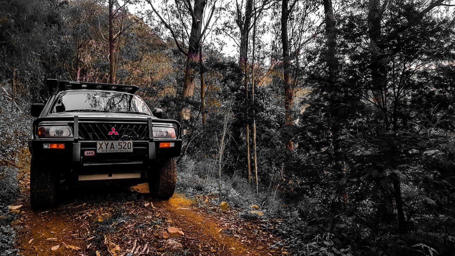
A simple rule to remember in Barrington Tops: anything called a road is for 2WD vehicles; anything called a trail is for 4WD vehicles plus mountain bikes plus bushwalkers. Yes, the trails are there to share.
But sometimes 4WD vehicles are excluded on some parts of trails, so watch for the signs and the closed gates and please obey them.
2WD vs 4WD
All designated 'roads' within Barrington Tops are unsealed gravel roads of variable condition but generally are suitable for two-wheel drive (2WD) vehicles.
Those designated as 'trails' are suitable only for four-wheel drive (4WD) vehicles which require moderate to advanced 4WD skills.
Do not attempt to drive 2WD vehicles on 4WD trails. It's the equivalent of driving your city car down a long and winding row of steps in a park - it's dumb and dangerous to yourself, your vehicle and to others.
All-wheel drive (AWD) vehicles are increasingly common but they do not have the same handling capabilities on muddy, slippery roads that 4WD have, so do not drive on the trails with AWD either.
And if driving a hire vehicle, check your insurance prior to arriving as some hire car policies exclude insurance cover if using unsealed roads.
Can I drive across Barrington Tops north to south?
A common question asked in our visitor information centres: Is it possible to drive across Barrington Tops from north to south (or vice versa) in a 4WD?
Sorry, no you can't.
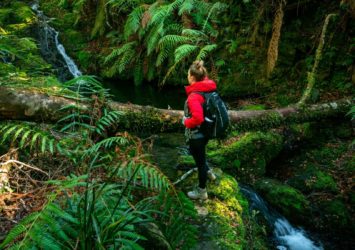
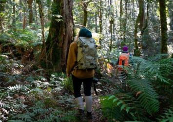
There is no north-south route in Barrington Tops that can be accessed for vehicles of any kind. Deep within the remote wilderness, only hikers and mountain bikers are permitted. So get out of your vehicle, stretch your legs and really connect with nature.
Can I drive across Barrington Tops east to west?
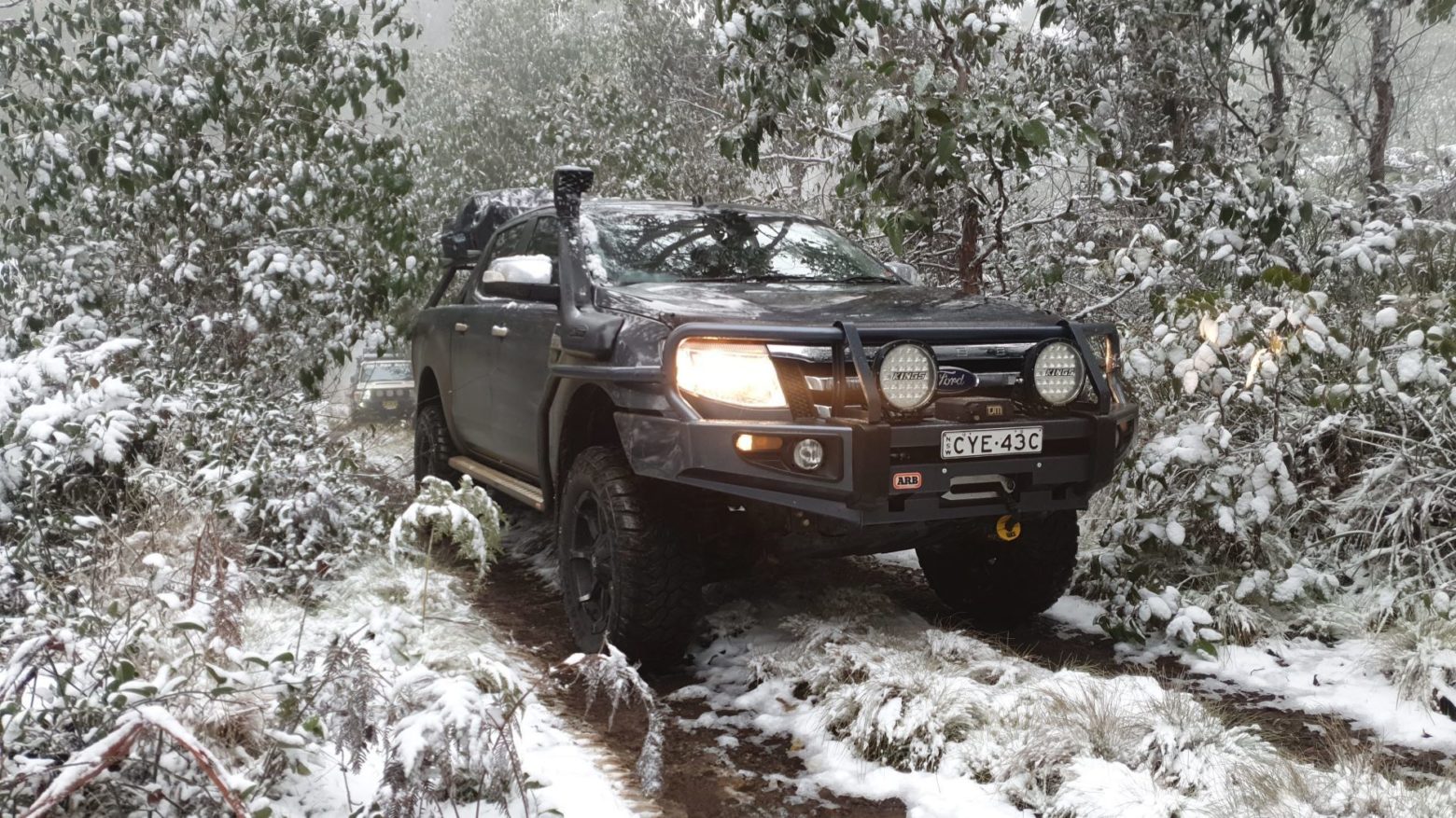
Well yes you can. And you don't need a four-wheel drive vehicle to do so, except during snowfall events.
Barrington Tops Forest Road
2WD suitable, this is the main access road across Barrington Tops from Gloucester to Scone. On the Gloucester side it starts as Scone Rd (at Thunderbolts Way, 8 km from Gloucester) and is a bitumen road to the Dilgry River bridge at Cobark where it then becomes Barrington Tops Forest Road. This road is bitumen sealed up the plateau to the park entrance (45 km from Gloucester). Then it’s an unsealed gravel road across the plateau to the Dingo Gate (31 km) on the western entrance to the parklands.
Barrington Tops Forest Road continues down the western side of the plateau, unsealed for a further 15 km to Hunter Road. Hunter Road is bitumen into Moonan Flat and onwards to Scone.
The gravel roads within the parklands of Barrington Tops can deteriorate after rain or snow and may be closed at short notice if deemed unsafe. Check the condition of your spare tyre and drive to conditions… ie. slow down!
- Gloucester to Polblue is 68 km, about 90 minutes;
- Gloucester to Moonan Flat Pub is 93 km, just under two hours.
Pheasants Creek Road
2WD suitable, this 13 km gravel road is the access road for Dilgry River Campground and Manning River Campground and terminates at Tomalla Road. It also connects to the eastern end of Tubrabucca Road for access to Gummi Falls Campground, Polblue Falls and Horse Swamp Campground. Tomalla Road takes you to Aussie Ark conservation facility (open seasonally for tours).
Dilgry Circle
2WD suitable, this 11 km gravel road provides access to Thunderbolts Trail East and Gummi Road. It terminates at Pheasants Creek Road which allows a longer access route for Dilgry River camping area or Manning River Camping Area.
Tubrabucca Road
2WD suitable, this 14 km gravel road provides western access to Horse Swamp Campground, Polblue Falls and Gummi Falls Campground. It terminates at Pheasants Creek Road which then takes you to either Tomalla or to Honeysuckle past Manning River Campground and Dilgry River Campground.
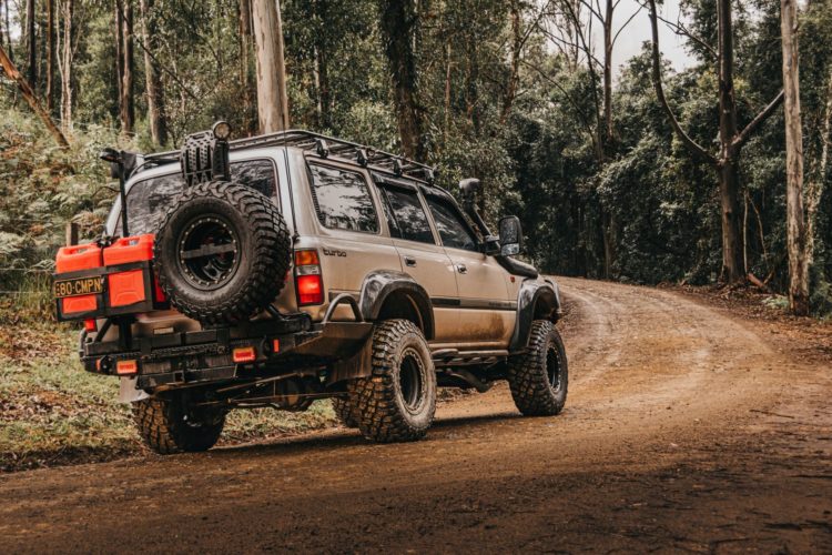
Looking for 4WD trails in the wilderness?
If you're a 4WD enthusiast then you'll be wanting to get off the 2WD-friendly roads listed above. Here's a good list of trails that are only suitable for four-wheel drive vehicles.
But it's important to note the seasonal closures of these trails during winter to protect them and let them recover. We all need a bit of rest don't we? So to avoid disappointment for your kids (or big kids), always check the NPWS Alerts before leaving home.
- Polblue Ridge Trail: This 4WD trail connects Barrington Tops Forest Road with Tubrabucca Road, terminating near Polblue Falls and Horse Swamp Campground. (4 km, moderate)
- Horse Swamp Trail: This 4WD trail connects Barrington Tops Forest Road with Tubrabucca Road, terminating near Polblue Falls and Horse Swamp Campground. (2 km, moderate)
- Paddys Ridge Trail: This 4WD trail connects Barrington Tops Forest Road with Tubrabucca Road and provides access to Butchers Swamp Trail and Green Gap Link Trail. (6 km, moderate)
- Barrington Trail North: This 4WD trail connects Tomalla Road with Barrington Tops Forest Road and passes the headwaters of the Manning River and the Hunter River. It crosses Tubrabucca Road which also provides access to Gummi Falls Campground via Bullock Brush Trail. (10km, moderate 4WD)
- Bullock Brush Trail: This 4WD trail is the main access to remote Gummi Falls Campground where the Manning River is born. (3 km, easy 4WD)
- Tugalow Trail: This 4WD trail connects Thunderbolts Trail West (off Barrington Tops Forest Road) with Gummi Falls Campground. (3 km, difficult 4WD)
- Thunderbolts Trail West: This 4WD trail connects Barrington Tops Forest Road with Tugalow Trail, passing Devils Hole Campground and terminates at Pheasant Creek Road. (6 km, moderate 4WD)
- Gummi Trail: This 4WD trail is nowhere near Gummi Falls, instead it starts on Thunderbolts Trail East and ends at Carters Trail. It leads to the less-travelled trails of Sassafras Trail, Carters Trail and Watergauge Trail, which in turns leads to Watergauge Campground. (8 km, moderate 4WD)
- Thunderbolts Trail East: This 4WD trail connects Dilgry Circle with Geales Ridge Road and provides access to Gummi Trail and Cascades Campground on the Manning River. (14 km, moderate 4WD)
- Barrington Trail South: This 4WD trail connects Barrington Tops Forest Road with the many attractions deep within the centre of the park. Barrington Trail takes you through an array of mountain habitats and past remote campgrounds at Little Murray and Junction Pools. The 4WD trail finishes at Mt Barrington with further access only on foot or mountain bike. The western track takes you to Middle Ridge or you can continue along Careys Peak Trail to Careys Peak lookout and beyond to more remote campsites at Wombat Creek and Black Swamp. (14 km, difficult 4WD)

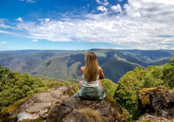
What is the road like to Gloucester Tops?
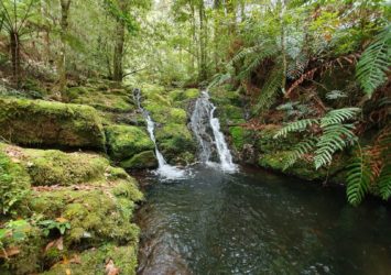
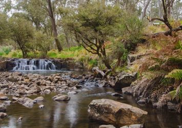
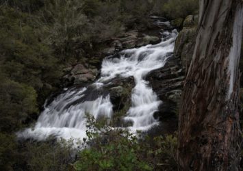
This is a very popular precinct of Barrington Tops, it's got it all: a lookout, waterfalls, riverside walks plus rainforest walks with mossy cascades. Many people have fallen in love with Barrington Tops right here.
Gloucester Tops Road
2WD suitable, this is the main access road to the Gloucester Tops precinct on the eastern side of the park, providing access to the popular attractions of Gloucester Falls and the Gloucester Circuit Walking Track. It is bitumen-sealed from the Bucketts Way to near Rawdon Vale Road (20 km, 20 mins) but then it’s a gravel road until terminating at Gloucester Tops Picnic Area (further 28 km) high in the park. There are 6 river crossings on concrete causeways so be cautious after rainfall. Gloucester to Gloucester Tops Picnic Area is 58 km, 1hr 15mins.
What about driving near Mount Royal?
In the southwestern precinct of Barrington Tops, Mount Royal National Park is one of the best-kept secrets of the region. It contains popular attractions that are accessed on unsealed gravel roads. Youngville Campground (for the Pieries Peak walking trail) is accessible by 2WD along Mount Royal Road winding 13 km off Carrowbrook Road. 4WD is advised in wet weather.
What about 4WD in State Forests?
In the southern precinct of Barrington Tops, Chichester State Forest contains many popular attractions which are accessed by unsealed gravel roads. And you can take your dog into state forest. These gravel roads are best suited to 4WDs so take extreme care if you choose to use 2WD vehicles.
Chichester State Forest West (Allyn River)
One suggested 4WD route winds 20 km along Williams Top Road (starting at Salisbury Road), Lagoon Pinch Road (where The Corker walking trail commences), then diverting to Mount Allyn Lookout via Mount Allyn Road and Paterson Forest Road. Another 4WD route winds 19 km to the start of the Rocky Crossing walking trail along Allyn River Road (starting at Salisbury Gap Road, Allyn River Forest Road and Lagoon Pinch Road.
Chichester State ForestEast (Telegherry River)
One suggested 4WD route winds 25 km through this beautiful forest area along Wangat Trig Road (starting at Chichester Dam Road), Middle Ridge Road, Frying Pan Road and Skimmings Gap Road (ending at Cabbage Tree Road).
WARNING:
You are visiting parks, forests and conservation areas which contain many unseen and unpredictable hazards that cannot be removed or controlled. These may be exacerbated during periods of extreme weather – fire, flood, wind, rain and snow. Because of this you are entering the Barrington Tops parklands at your own risk.
Drive safely and be aware of your fellow travellers and wildlife too, afterall, it's their home.