Barrington Tops is the highest point of the Barrington Coast and its parkland precincts offer a wildlife sanctuary of ancient rainforests, waterfalls and lookouts.
Barrington Tops is a collection of national parks, state forests and state conservation areas. Together these parkland precincts total 125,000 hectares of wilderness (see more details below).
Carved out of ancient volcanic flows, the Barrington plateau rises from near sea level to over 1500m and protects one of the largest temperate rainforests in mainland Australia, along with a host of diverse habitats and wide range of birds and animals.
The parks and forests are a bushwalker’s paradise, with an excellent walking track network that includes short and easy walks to more difficult overnight hikes, with plenty of sites to set up a bush camp for the evening.
For those visiting for the day, there are lots of picnic and barbecue areas to enjoy, cycling trails to be explored and views from the park’s lookouts that need to be seen to be believed. Fishing is a popular activity in the park between October and May; you might catch a rainbow or brown trout. In winter there is a regular dusting of snow on the high peaks.
125,000 hectares equals 1,250 square kilometres to lose yourself in, so take care when venturing into this beautiful region… it has swallowed planes and people without a trace. And it’s also hidden bushrangers and fugitives for years.
The parkland precincts of Barrington Tops
To make it easier, the parklands can be divided into precincts, each with their own appeal and often with their own unique access. You’ll need several visits to truly appreciate why this region was world heritage listed back in 1996.
- Barrington Tops National Park (76,500 hectares)
- northern precinct including Polblue is accessed via Gloucester and Scone
- eastern precinct of Gloucester Tops including Gloucester Falls is accessed via Gloucester only
- Barrington Tops State Conservation Area (8,400 hectares)
- northern precinct is accessed via Gloucester and Scone
- Barrington Tops State Forest (14,000 hectares)
- northern precinct is accessed via Gloucester and Scone
- Chichester State Forest West (Allyn River) and Chichester State ForestEast (Telegherry River) (total 15,000 hectares)
- southern precinct including Ladies Well and Rocky Crossing Trail is accessed via Stroud and Dungog
- Stewarts Brook State Forest (3,800 hectares)
- western precinct including The Firs is accessed via Gloucester and Scone
- Mount Royal National Park (6,900 hectares)
- south western precinct including Pieries Peak is accessed via Singleton only
Some areas of the parklands may have limited public access, check the NPWS alerts page for the latest info before you travel.
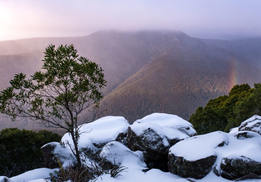
125,000 hectares to lose yourself in, so take care… it has swallowed many planes and people without a trace and hidden bushrangers and fugitives for years.