Cascades, cataracts, showers, chutes and falls. Have you discovered all the best waterfalls in the Barrington Coast?
The Barrington Coast is famous for its waterways that tumble off mountains as they make their way to the sea. Some of these streams become mighty rivers but high up where they’re born, their pure waters offer some sensational waterfalls and cascades to enjoy.
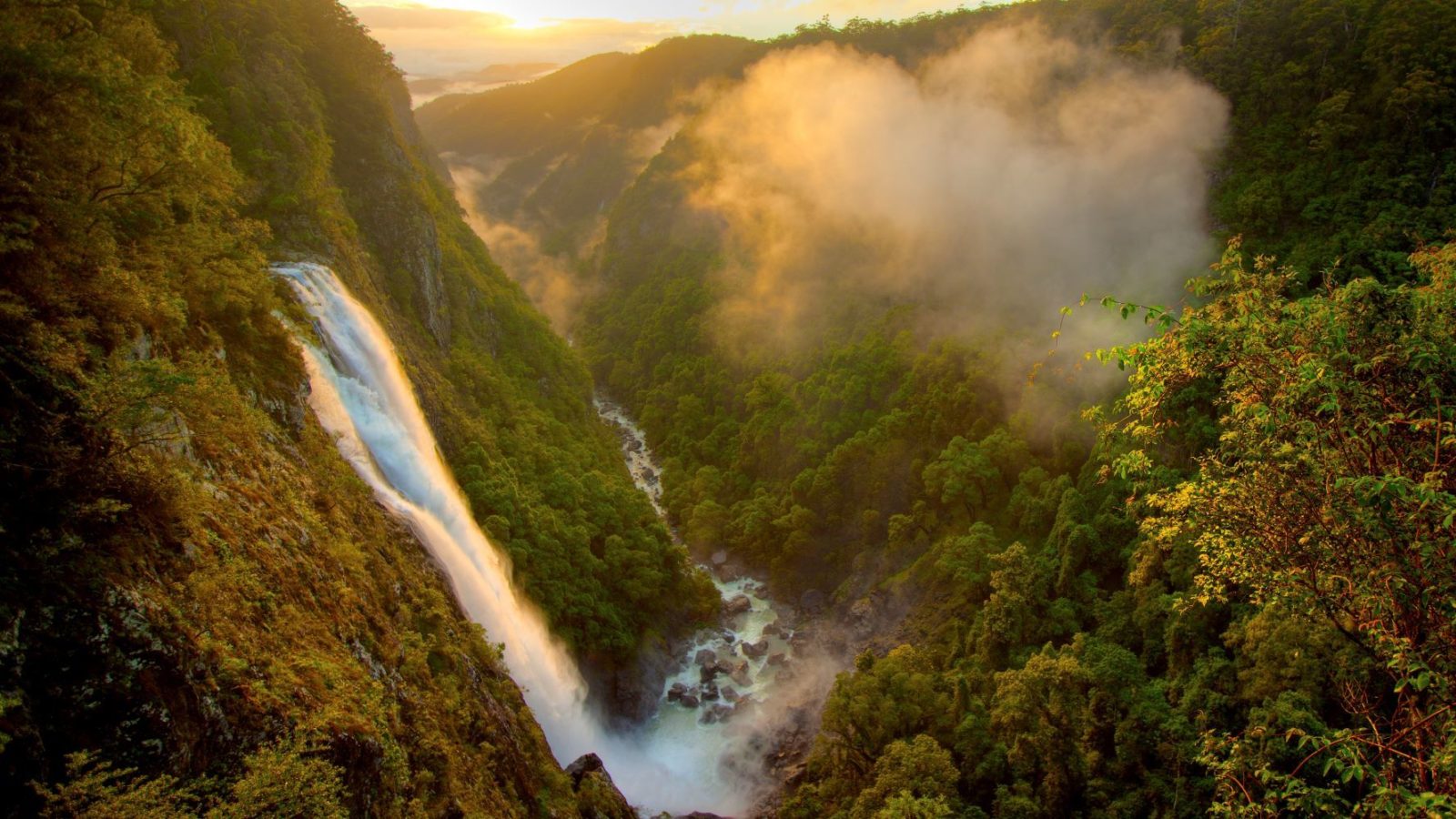
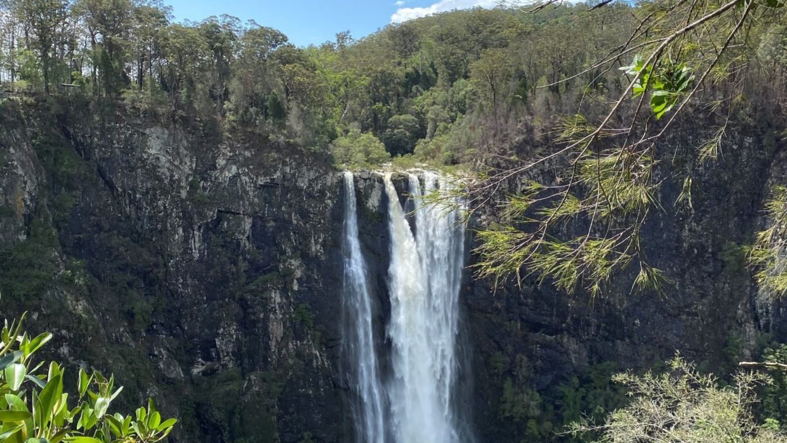
Let's start with the biggest. The most impressive is Ellenborough Falls, where the Ellenborough River tumbles 200 metres off the Bulga plateau. It’s the state's tallest single drop waterfall and is an iconic experience of the Manning Valley region in the Barrington Coast. It's easily one of the Top 10 waterfalls in Australia!
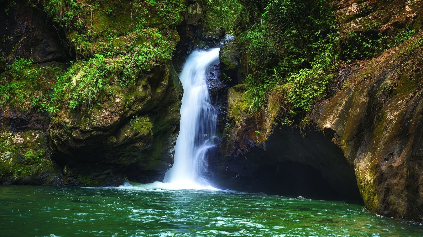
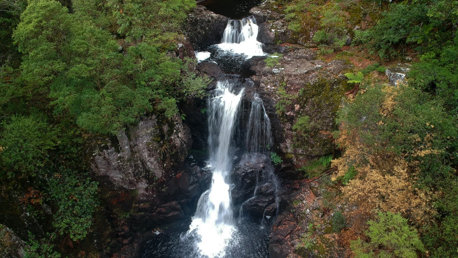
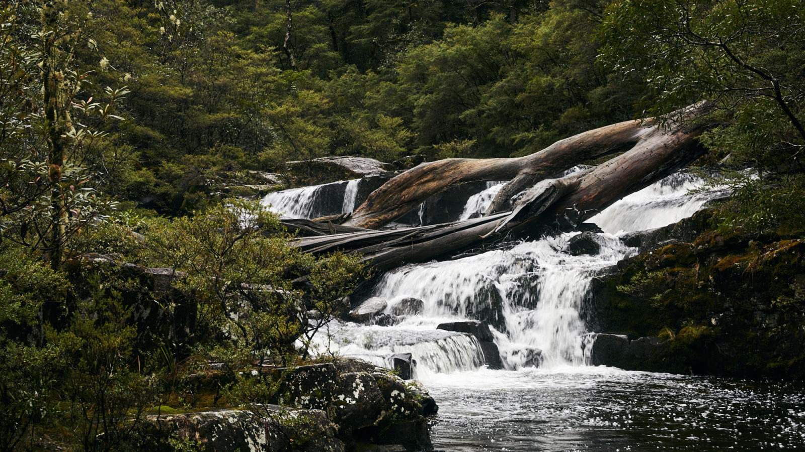
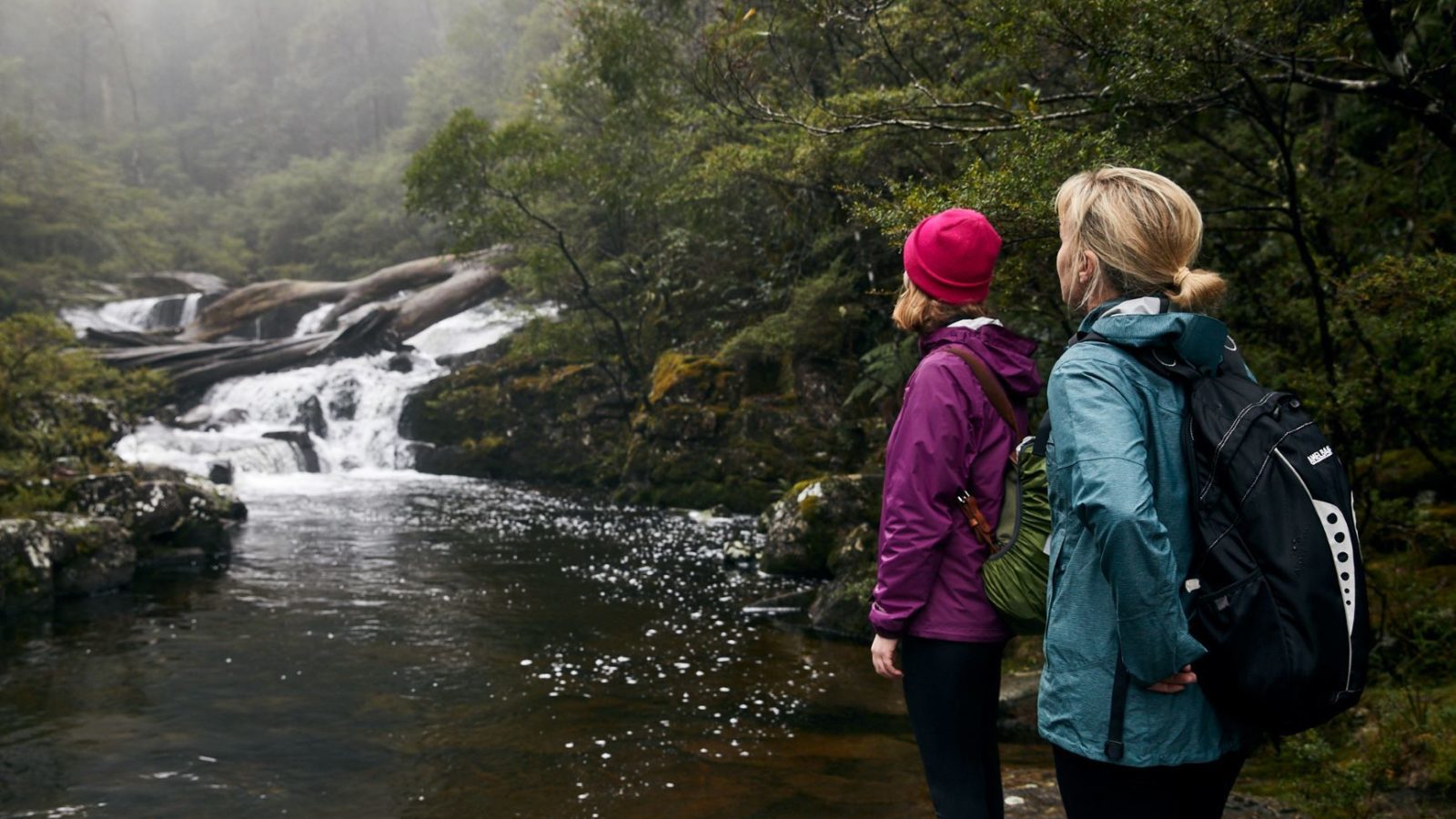
In our high altitude national parks of Coorabakh, Tapin Tops and Barrington Tops, the pristine waters tumble not in dramatic single-drop falls but instead via discreet falls and cascades in many hidden ravines and secret gullies. A few of these gentle waterfalls are easily accessible on walking tracks, some with observation points and picnic areas or even camping areas.
In addition there are many other unnamed mossy cascades in the national parks, state conservation areas and state forests of the Barrington Coast. For starters, try the Antarctic Beech Forest Track at Gloucester Tops. So get your explorer boots on and see how many you can find.
And for intrepid overnight bushwalkers in Barrington Tops, try ticking these off your cascade check-list… if you can find them: Basden Falls, Double Falls, Cobbers Falls and Far Eastern Falls.
The view looking back up the waterfall is mesmerising, it puts our small human scale into perspective.
If you're heading to Barrington Tops the best approach is via Gloucester on the eastern side, stop for fuel, provisions, a coffee or a meal on your way through.
At 200 metres, Ellenborough Falls is the tallest single drop waterfall in New South Wales and amongst the tallest in the southern hemisphere.
There are four ways to experience Ellenborough Falls depending on your fitness level.
At the top of the falls near the car park is the first viewing platform and nearby there's a short walk to another viewing area near the waterfall drop-off. Both of these are easy effort.
The third option is a 10 minute walk down the timbered walkway to The Knoll. This viewing platform is directly opposite the falls for a top-to-bottom vista of the waters of the Ellenborough River tumbling into the ravine below.
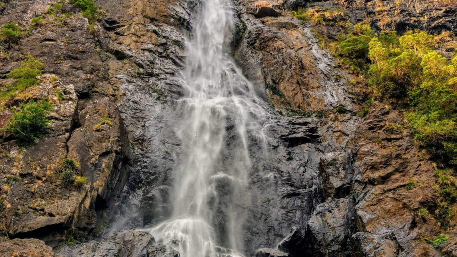
The fourth option is truly worth the effort. You descend 641 steps to the base of the falls, with rest stops that you'll appreciate on the way back up. At the bottom is a rock pool misted by the spray of the water, splash some of the icy water on your face to cool off. The view looking back up the waterfall is mesmerising, it puts our small human scale into perspective.
Now... the challenge is those 641 steps back up!
Where: Ellenborough Falls Reserve at Elands.
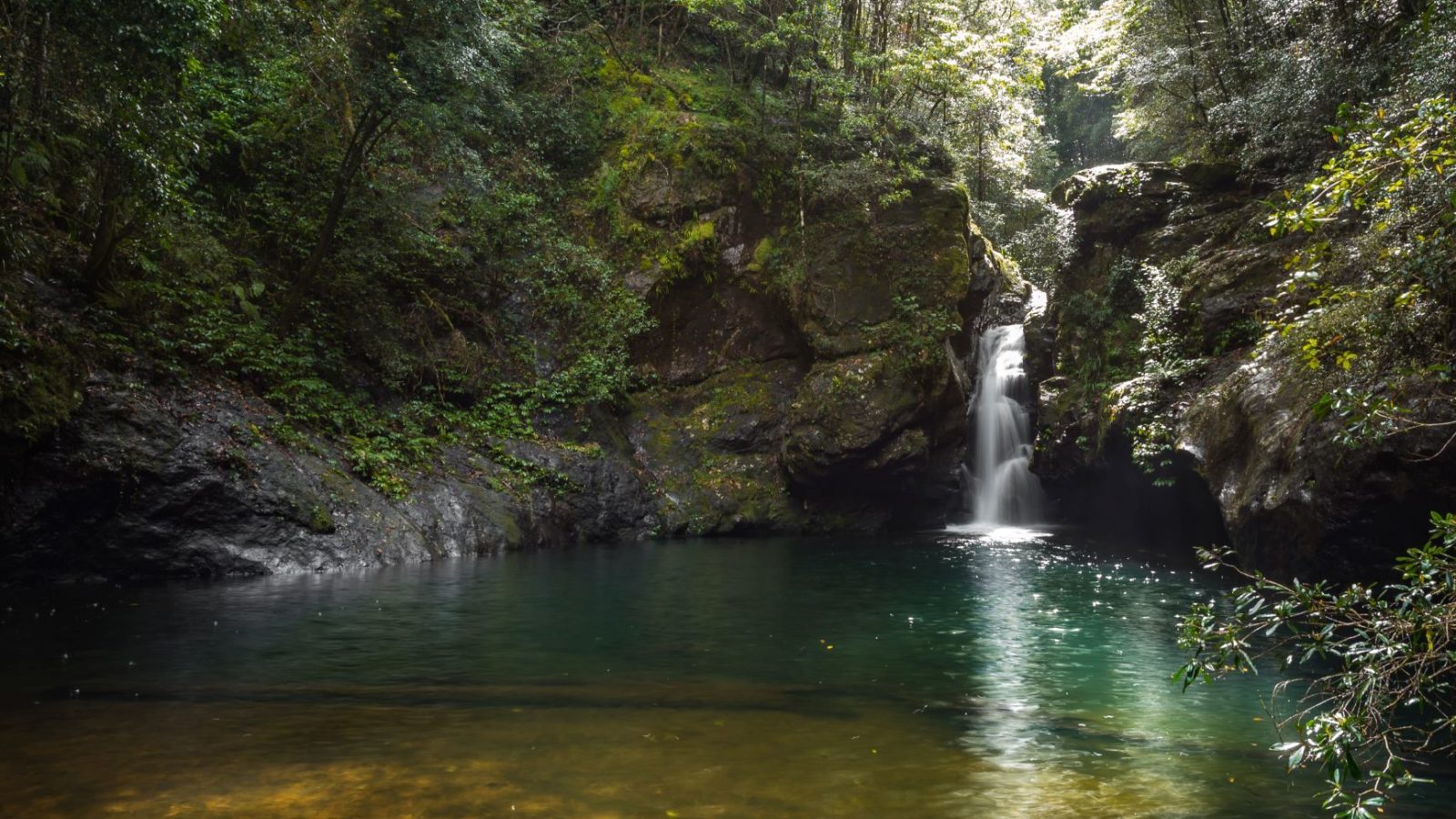
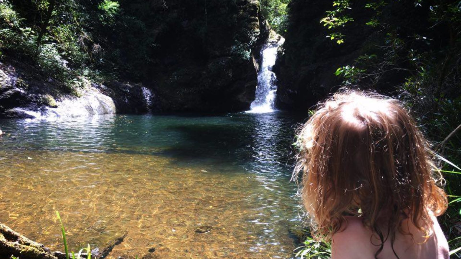
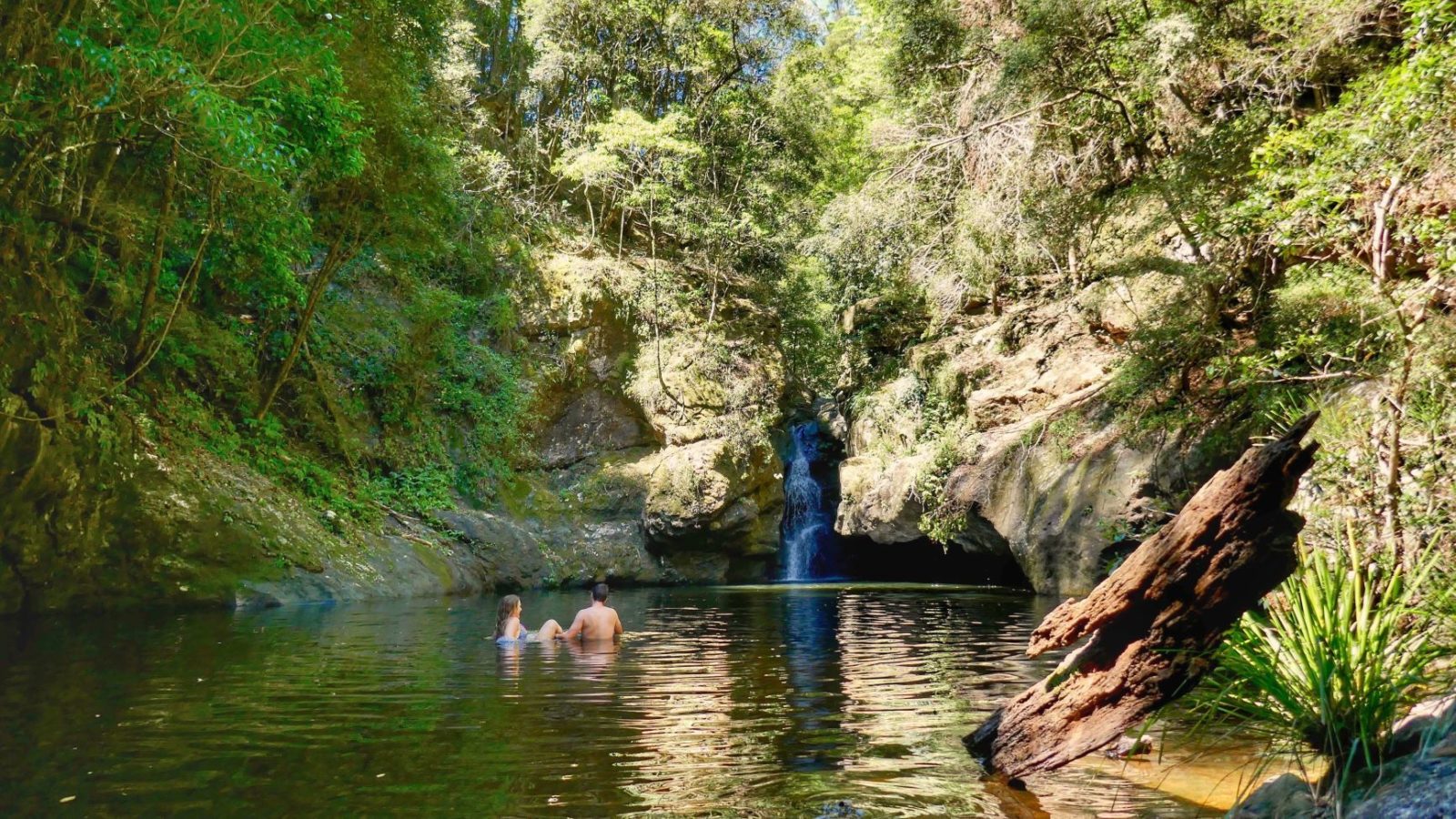
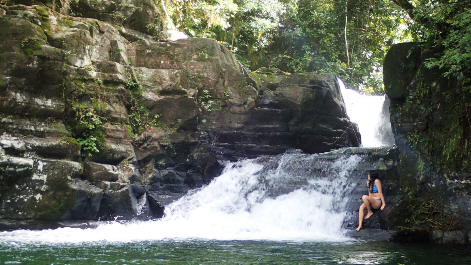
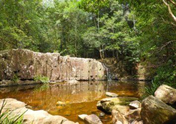
Potoroo Falls is a hidden gem in Tapin Tops National Park. It’s surrounded by dense rainforest and offers a perfect swimming hole with crystal clear water. The falls are well off the beaten track, and you’ll have to follow a series of logging roads to get there. The day use picnic area is in a pretty location beside Little Run Creek amongst the forest.
Where: Potoroo Forest Rd in Tapin Tops National Park
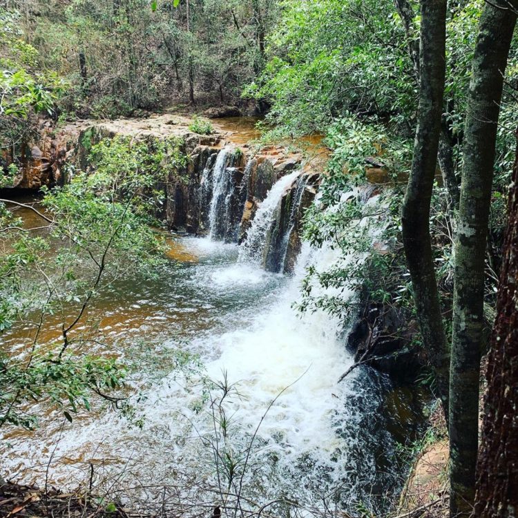
3. Waitui Falls
Tucked away in the middle of the forest on the border of the Coorabakh National Park, Waitui Falls is a delightful place for a picnic. It’s not a big waterfall but the waters provide a nice place for a swim. The pathway to the falls is short but it’s easy to miss the roadside marker which makes this waterfall seem even more elusive.
Where: Waitui Rd, Kerewong.
*** Road access update: Due to recent heavy rainfall, the access roads within the state forest are in extremely poor condition and should be avoided by 2WD vehicles. Drivers of 4WD vehicles should take extreme care. ***
The Falls Track at the Gloucester Tops precinct of Barrington Tops National Park offers a short and easy walk that rewards you with a beautiful lookout and waterfall at the end of a very scenic drive.
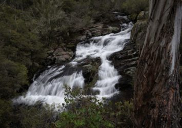
The marked track takes you to an observation point above the falls where the Gloucester River is born at a series of cascades called Gloucester Falls. Take extreme care if you decide to follow any unmarked trails to the water’s edge, as the rocks can be deceptively slippery.
Where: Gloucester Falls picnic area at the end of Gloucester Tops Rd in Barrington Tops National Park. Camping is available at the NPWS Gloucester River Campground.
At these Gloucester Tops cascades you’ll believe in water fairies.
5. Antarctic Beech Forest cascades
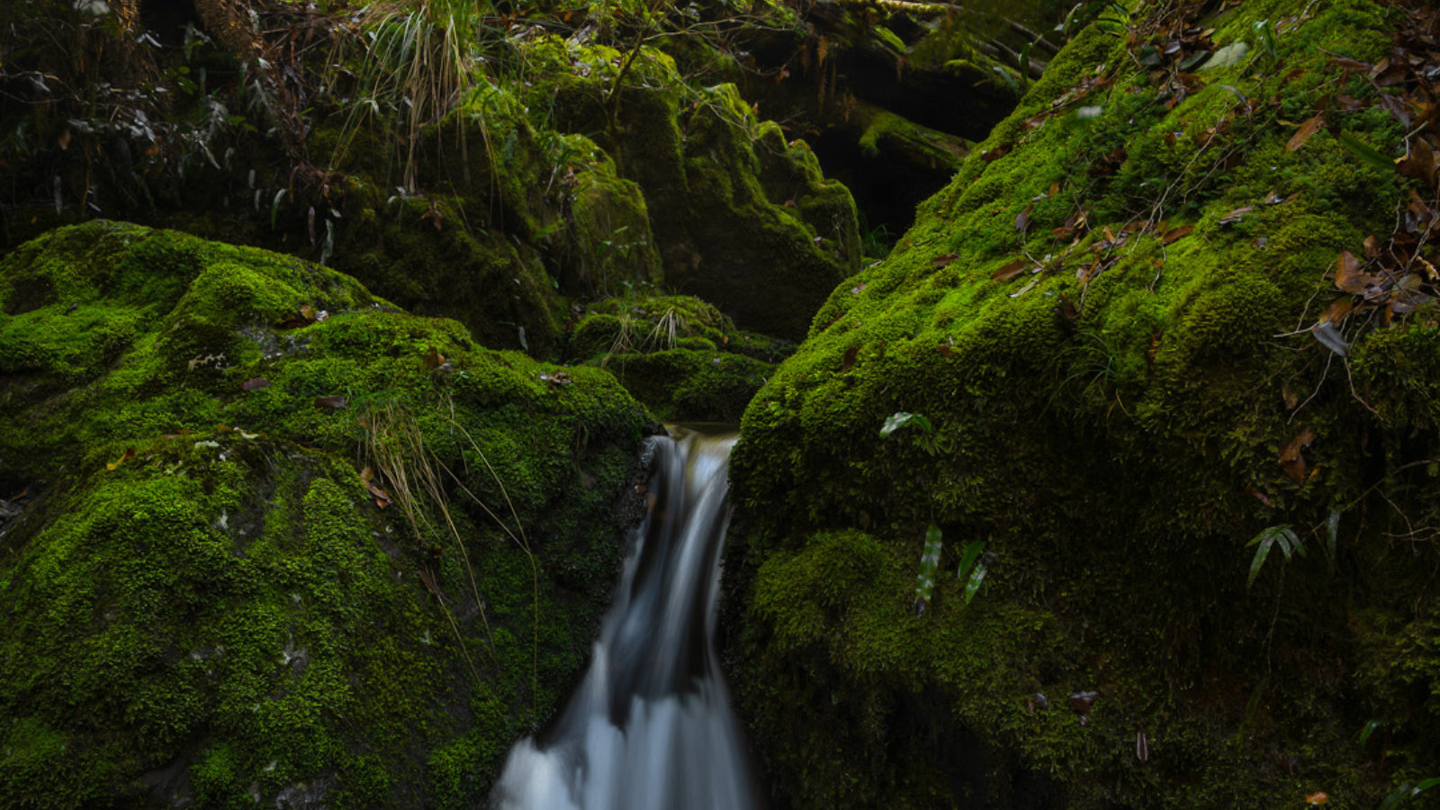
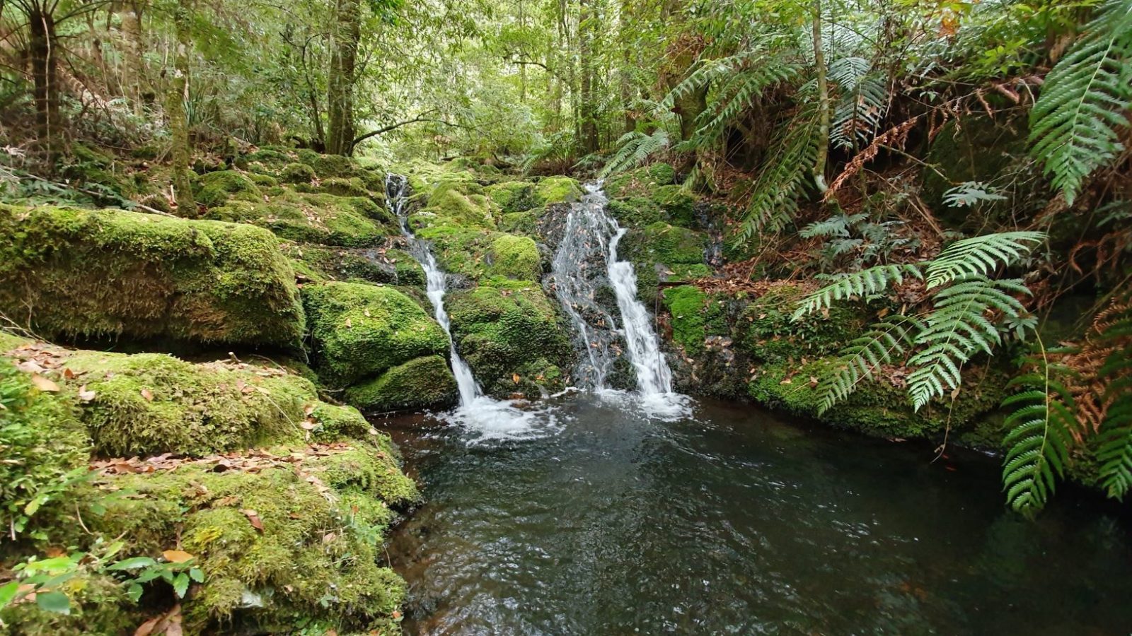
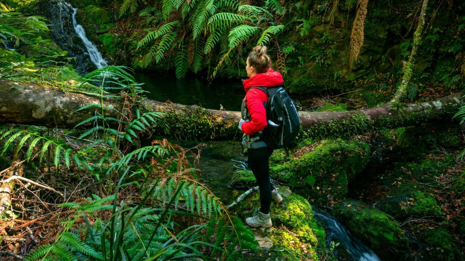
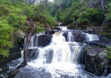
Set out from Gloucester Falls picnic area and discover the ancient forests of Gondwana with towering Antarctic Beech trees, tree fern groves and beautiful mossy cascades. On the short walk there's a very pretty cascade but take the steeper long walk for a spectacular set of mossy cascades falling into a fern-lined gully. It’s here at these cascades that you’ll believe in water fairies.
Where: Gloucester Falls picnic area at the end of Gloucester Tops Rd in Barrington Tops National Park.
6. Gummi Falls
Remote Gummi Falls offers a secluded NPWS campground high in Barrington Tops. This is where the Manning River is born and it’s still just a mountain stream so the waterfall is not spectacular but it’s part of a landscape that typifies rugged Barrington Tops high country with plenty of wildlife. This campground and waterfall is accessed only by 4WD.
Where: At Gummi Falls campground on Bullock Brush Trail off Tubrabucca Rd in Barrington Tops National Park. NB. Bullock Brush trail is only open to vehicles from 1 October 31 May. From 1 June to 30 September, you can only access Gummi Falls campground by walking or cycling. It’s a 3km one-way walk or cycle into the campground from the seasonal gate where Bullock Brush Trail leaves Tubrubucca Road.
This waterfall is where the Manning River is born.
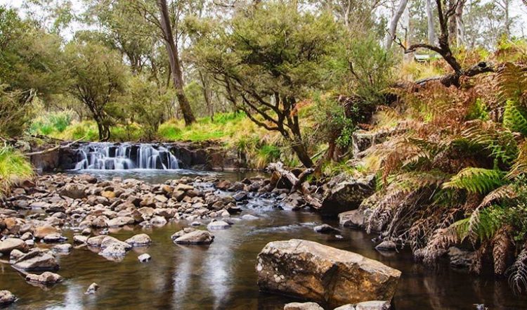
Not widely known, Polblue Falls is easily accessed from the walking track at the Polblue Falls picnic area on Tubrabucca Rd. The track leads to an observation point overlooking the falls and Polblue Creek. Take extreme care if you decide to follow any unmarked trails to the water’s edge, as the rocks can be deceptively slippery and it’s a long way down!
Where: Polblue Falls picnic area on Tubrabucca Rd in Barrington Tops State Conservation Area. Camping is available nearby at Horse Swamp camping area.
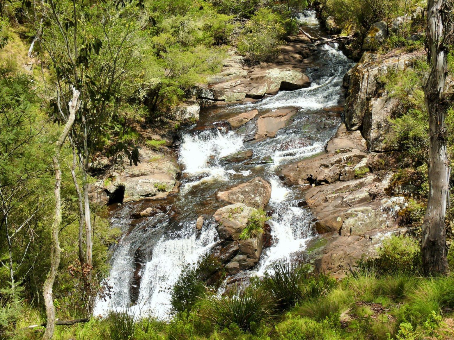
It’s easy to imagine that dinosaurs once roamed here.
Often photographed, the falls are accessed via the pretty Jerusalem Creek picnic area, the most southerly entry point to Barrington Tops National Park.
Where: Jerusalem Creek picnic area off Wangat Rd via Chichester Dam Rd.
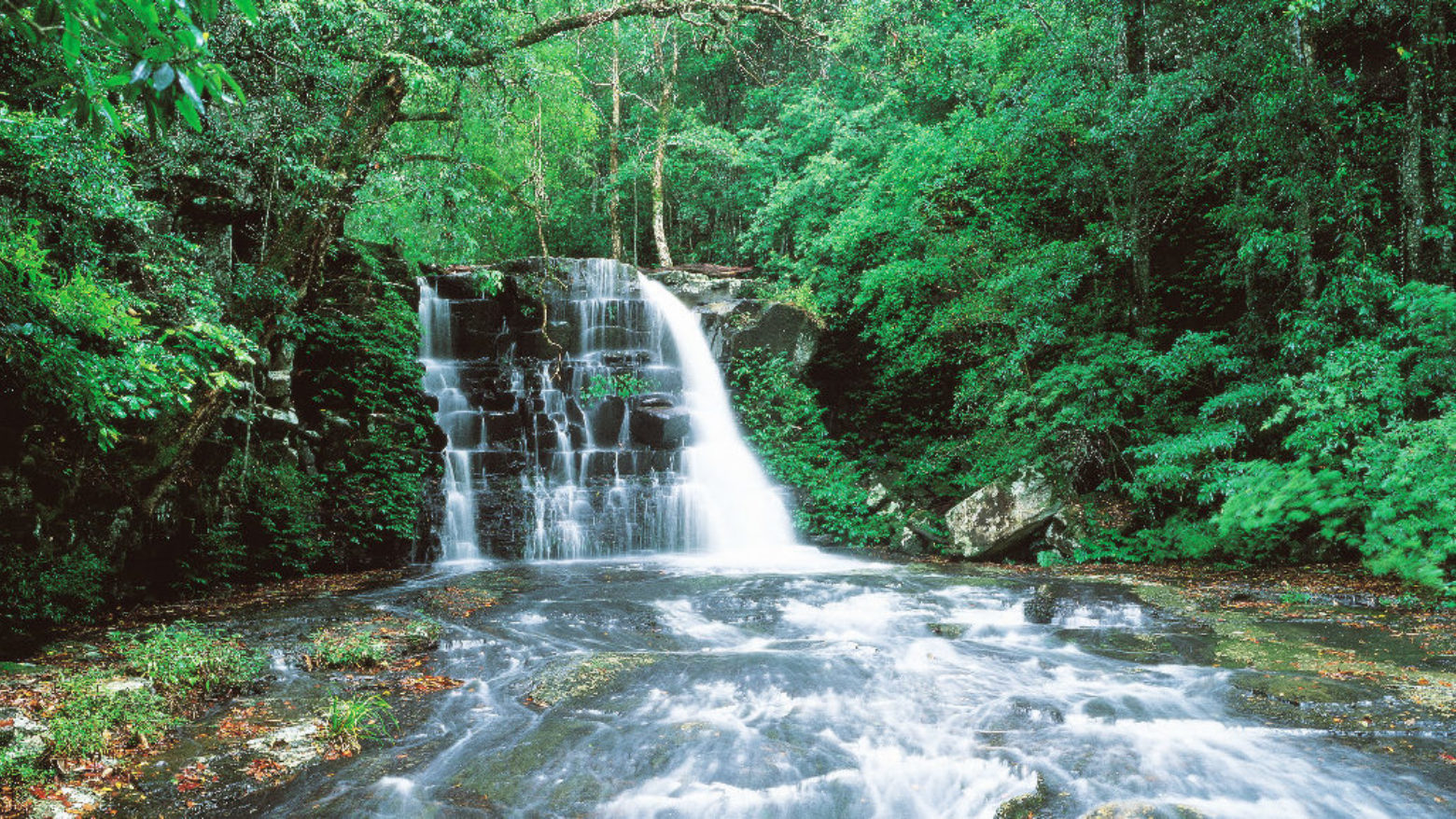
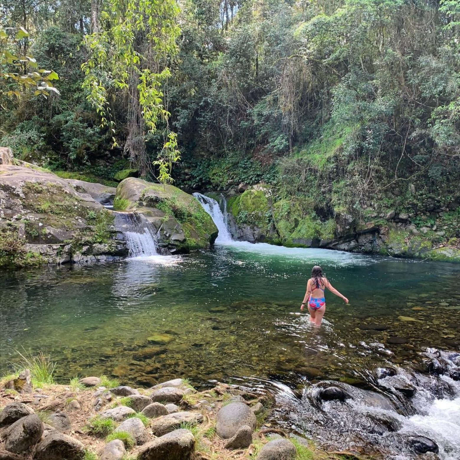
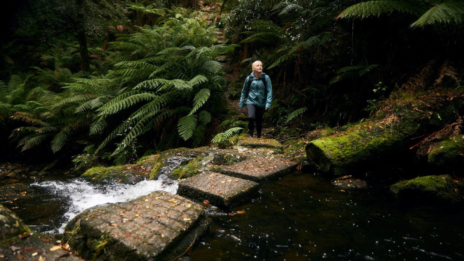
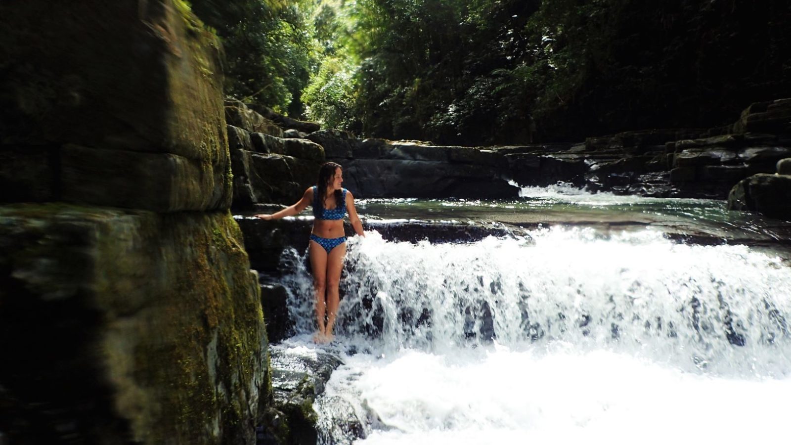
Loved by Instagrammers, the falls at Rocky Crossing are not big but they sit in a very scenic location of natural rock swimming pools surround by lush ferns and forest. Accessed only via a challenging walking track winding along the Williams River from Williams River picnic area. Take a moment to breathe, it’s easy to imagine that dinosaurs once roamed here. (NB. this location is should not be confused with Rocky Crossing on the Barrington River near Gloucester.)
Where: Williams River picnic area off Salisbury Rd in Barrington Tops National Park. Camping is available in Chichester State Forest at Allyn River Forest Rest Area, White Rock and Old Camp.
10. Ladies Well
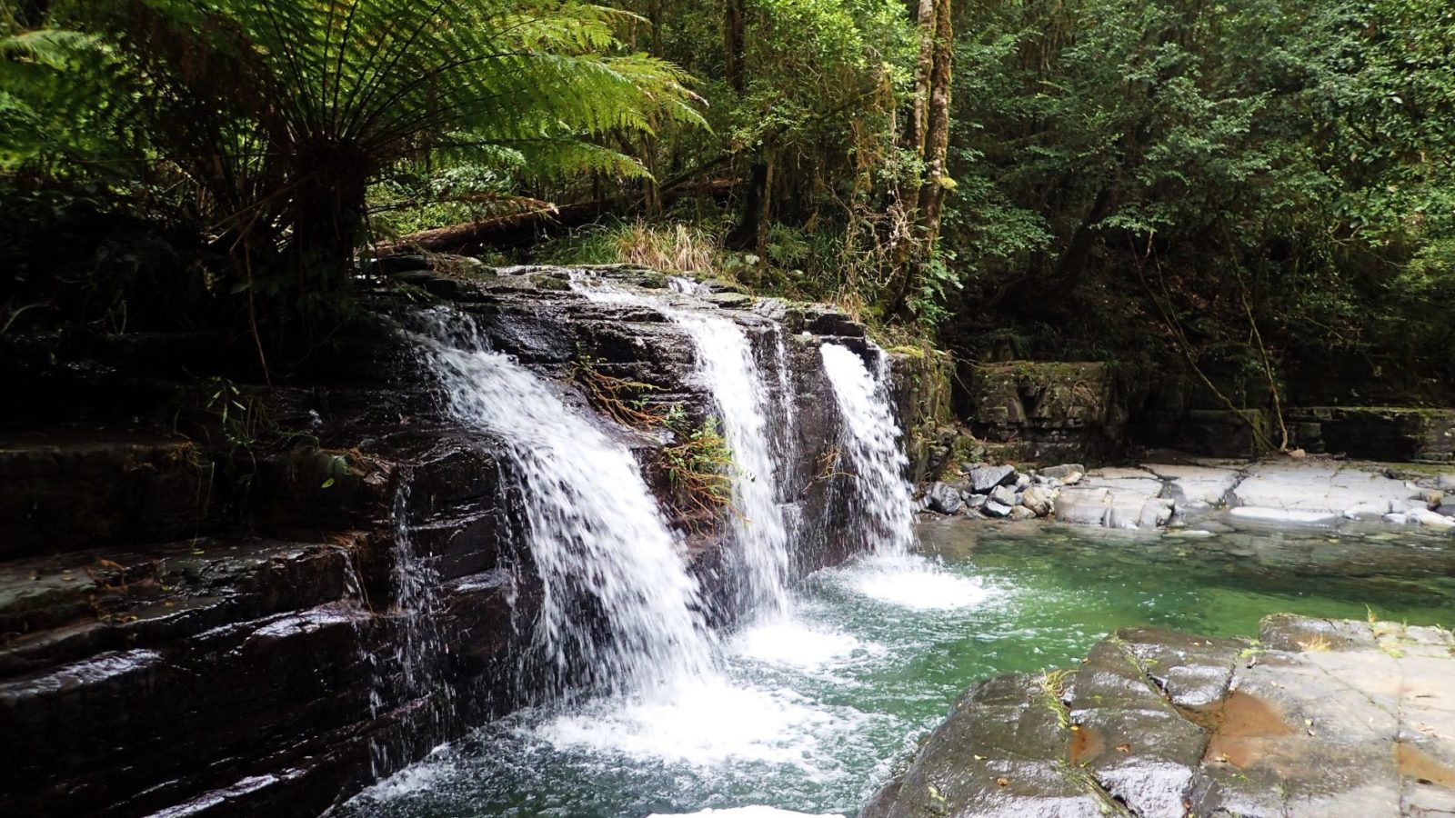
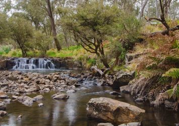
Ladies Well is a special place, where visitors can enjoy the cool waters of the Allyn River surrounded by granite boulders and lush forest. Located within Chichester State Forest (West) in the Barrington Tops parklands, Ladies Well is a popular swimming hole for families in the warmer months. This picturesque waterhole features a series of cascades where you can relax on warm rocks after a dip in the cool Allyn River waters.
Where: Upper Allyn Forest Rd with Chichester State Forest (West)
