The Manning River is one of several major rivers born in the high altitude wetlands of Barrington Tops, the highest point of the Barrington Coast.
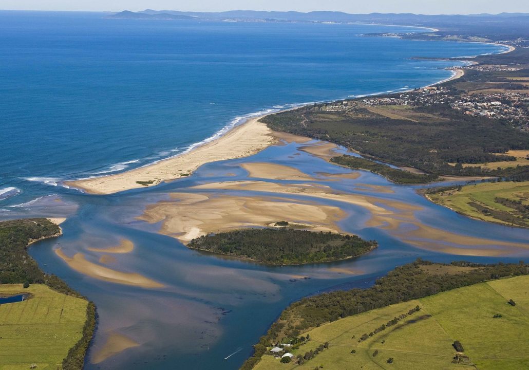
The Manning River is a double delta river system with two openings, the only one of its kind in the southern hemisphere. The main mouth of the river is at Harrington with the second opening located at Old Bar.
The river rises near Mount Barrington within Barrington Tops National Park. It descends 1,500 metres over its 261 kilometre course from the high upper reaches through the Manning Valley and out to the Pacific Ocean near Taree.
The lower part of the river has several channels dividing coastal land into large islands, such as Mitchells and Oxley Islands.
The Manning River and its tributaries have long been havens used by visitors, holiday makers, locals, oyster farmers, anglers and transportation during the early pioneering days.
There is an increasing number of public ramps, wharves, pontoons, riverside parks, commercial tourist destinations and towns and villages scattered along the river.