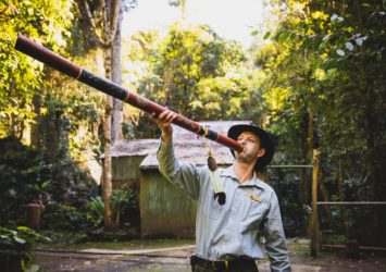
Breathe in the fresh air that and feel the serenity that comes with these cool forests.
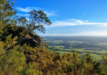
Feeling the heat of summer? Then head for the hills behind Gloucester, they’re high and cool and offer some of the best walks in the Barrington Coast hinterland.
First up, head for Copeland Tops State Conservation Area about 15 minutes from Gloucester:
1. Hidden Treasure Track, Copeland Tops SCA
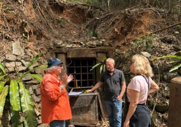
Hidden Treasure track is a walking route through dry rainforest at Copeland Tops State Conservation Area that takes in remnants of the area’s gold mining heritage, including a historic boiler and disused mine entrance.
- Where: Copeland Tops State Conservation Area
- Distance: 4.5km loop
- Time: Approx 1.5 hours to 2.5 hours
- Grade: Grade 3
Hidden Treasure Track is an easy walk following Copeland Creek beneath a canopy of grey myrtle, shatterwood, yellow tulip and other dry rainforest species.
This hike also takes you past remnants of the area’s mining history. Look out for adits, which are tunnelled entrances to underground mines. See the boiler from Criterion stamper battery, which used to provide the power to crush ore from the nearby mines.
Hidden Treasure gold reef was discovered in 1877. Despite the name, the treasure did not really stay hidden for long, and this mine became the area’s second most productive, yielding 269kg of gold after its construction. Now that all those miners have left, microbats have moved in and travel back and forth from the cave through the open mesh grill at the mine entrance, generally scavenging for insects.
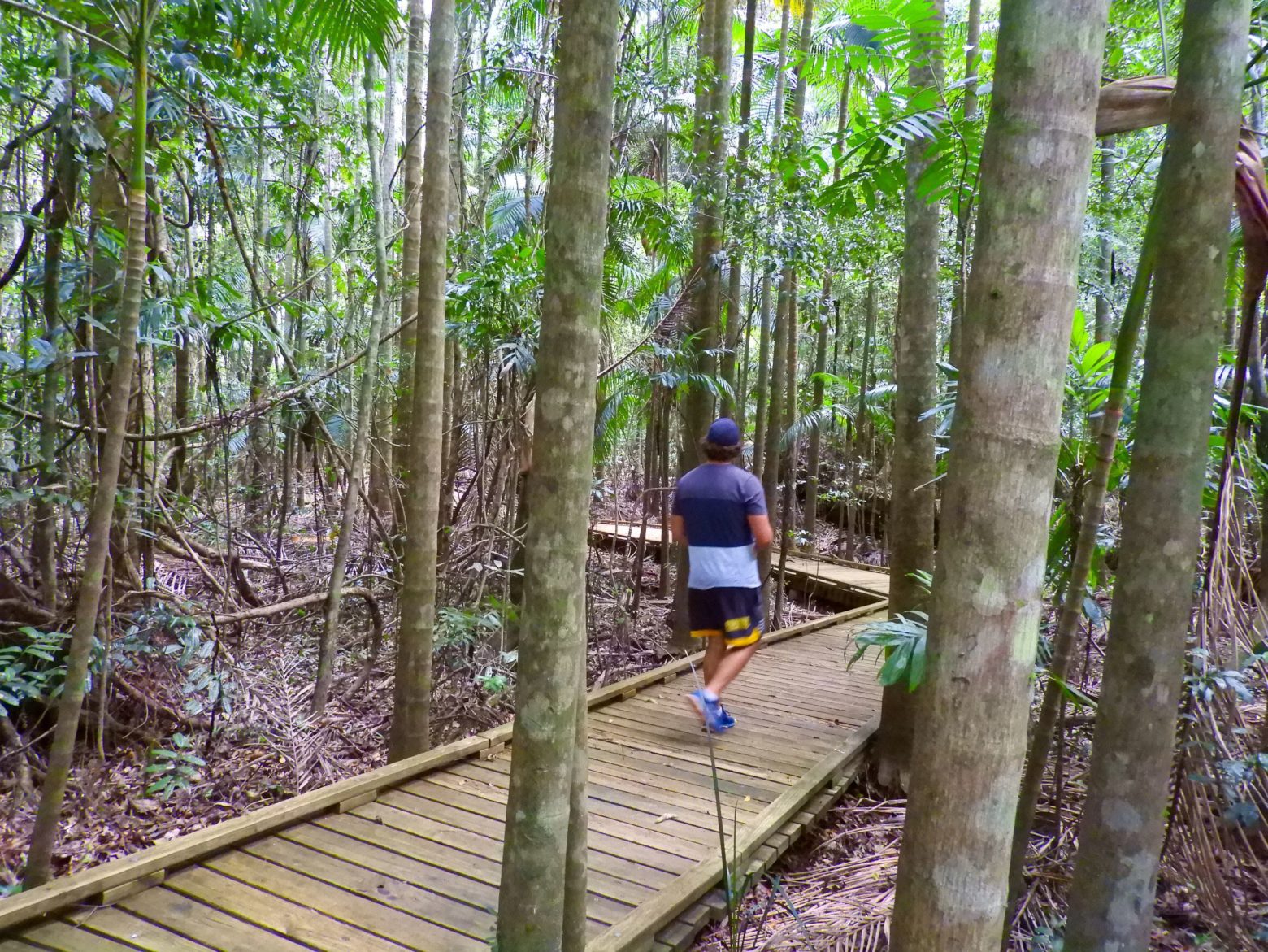
2. Basin Loop Track, Copeland Tops SCA
For those who really like to stretch their legs, Basin Loop Track is the longest walking trail in Copeland Tops. This continuation of Hidden Treasure Track follows, for the northern part of its loop, historic Old Copeland Road.
- Where: Copeland Tops State Conservation Area
- Distance: 7km loop
- Time: Approx 3.5 hours to 4.5 hours
- Grade: Grade 3
The track leads you through dry rainforest to open forest that lines the ridge tops of this area. See how the vegetation changes along the way from red cedars, giant stinging trees and strangler figs in the moister, more protected sections of rainforest, to Sydney blue gums and Craven grey box in the schlerophyll forest on the more exposed and drier ridges.
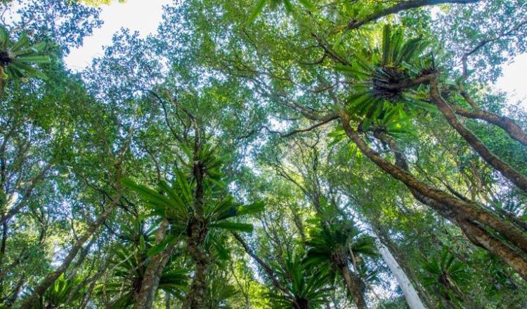
Studded with volcanic outcroppings, Coorabakh National Park offers scenic views as well as hiking, picnicking and birdwatching opportunities.:
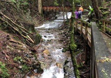
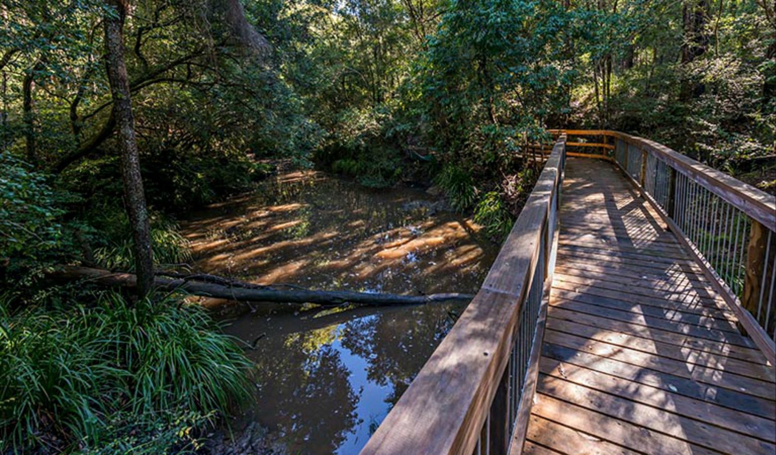
3. Stars Creek Boardwalk
Starrs Creek picnic area is a terrific spot to settle down and enjoy the natural splendour of the rainforest, with light filtering through the canopy into a cool clearing. Bring a packed lunch and find a place to picnic right near the crystal clear perfection of the creek; picnic tables make this a convenient spot for families, though everybody will appreciate the quiet solitude of pristine nature.
- Where: Coorabakh National Park
- Distance: 400m loop
- Time: 10-20 minutes
- Grade: Grade 2
Brimbin Nature Reserve is just a stone’s throw from Taree and a tranquil place of mangrove-lined waterways:
4. Ms Kellys Walking Track
Brimbin Nature Reservehas it all: scenic views, walking, swimming, picnicking, wildlife and birdwatching… all within a stones throw from Taree.
- Where: Brimbin Nature Reserve
- Distance: 1.5 km loop
- Time: 45m to 1.5 hrs
- Grade: Grade 3
Beginning at Tommy Owens Crossing, the track passes through a dense area of swamp oak then, from Ms Kellys Crossing, follows part of Old Port Macquarie Road. From the late 1820s, this historic route allowed bullock-drawn vehicles to cross Dawson River and continue on to Port Macquarie.
Along with being the site of significant stock routes, bullock roads and river crossings, it was also part of a property owned by New South Wales’ only independent female colonial settler, Isabella Mary Kelly. Ms Kellys walking track and Ms Kellys Crossing were named in her honour.
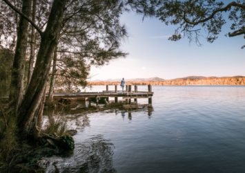
Now we head down south to one of the states largest coastal lake systems with an abundance of wilderness to uncover:
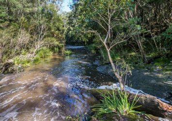
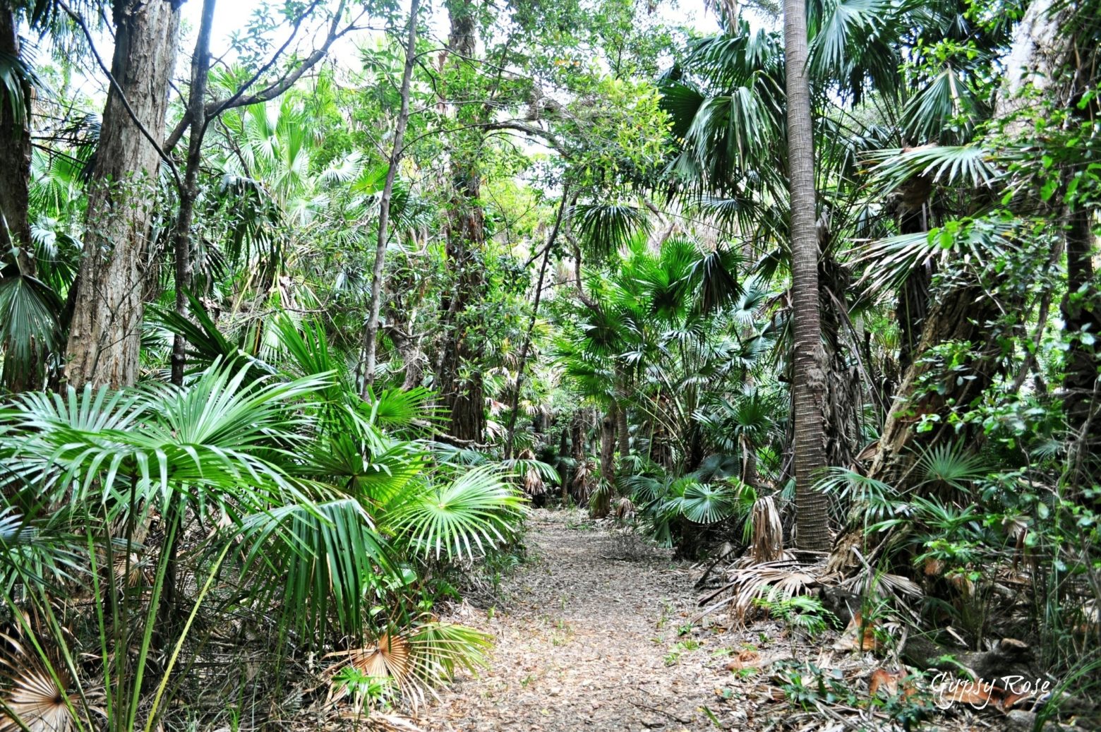
5. Mungo Rainforest Walk
This easy loop walk takes you on a short trip through rare coastal rainforest with a lush environment of ancient trees, plum pine, mock olive, coogera and brush bloodwood.
- Where: Myall Lakes National Park
- Distance: 1.5 km loop
- Time: 15 to 45 minutes
- Grade: Grade 3
Children and adults can have great fun looking out for the colourful birds that live in the rainforest, including golden whistlers, figbirds, rufous fantails, and satin and regent bowerbirds. You’re also likely to see brush turkeys scratching in the undergrowth; look for their distinctive red head.
The walk starts from Mungo Brush campground, from here follow Tamboi walking track to the historic Tamboi fishing village or work a longer walk follow the Mungo walking track to Hawks Nest.