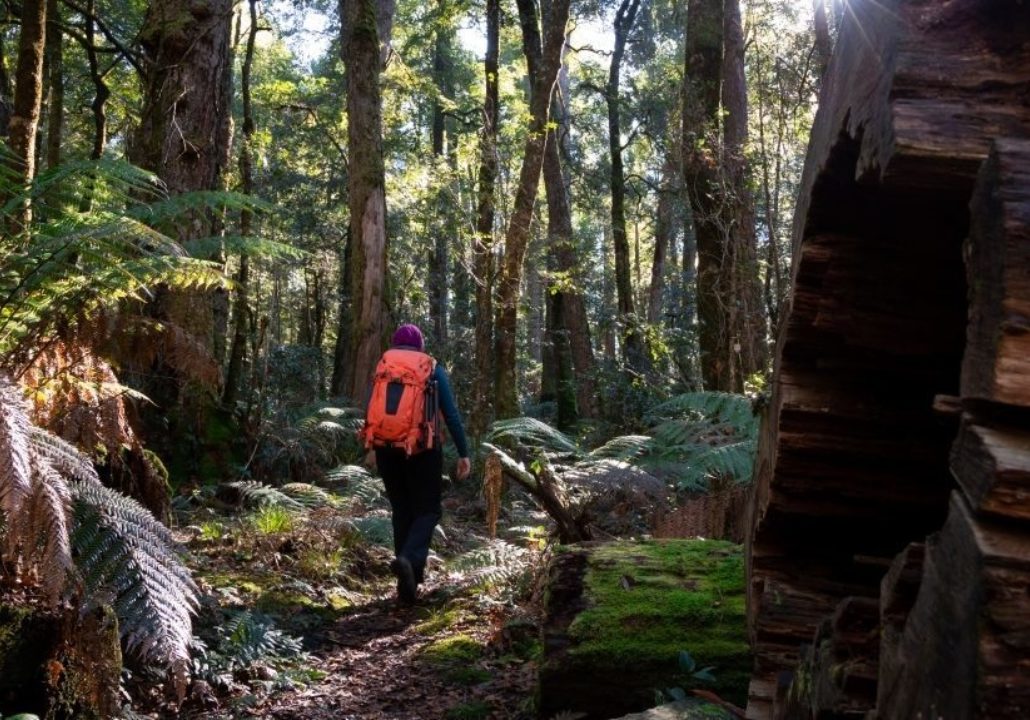
Sharpes Creek walking track is an invigorating trail amongst the lush and dense rainforest of the Gloucester Tops.
Like the Gloucester River walking track, this walk can be done as a return walk or a loop, through various environments of river, rainforest and stunning tall gums.
Choose the easy 3 km track for a one hour return walk up Sharpes Creek or the harder 4.5 km loop walk that returns to the camping area via Gloucester Tops Road.
As you cross the river be sure to keep an eye out for turtles and platypus, or rare wildlife like fantails or golden whistlers singing amongst the trees.
For a longer loop add on Gloucester River walking track to your hike and finish your day off with a refreshing swim in the river.
Some areas of the parklands may have limited public access, check the NPWS alerts page for the latest info before you travel.